Kasperi, Seinäjoki

Gallery (4)
Map

Map
Gallery
Facts and practical information
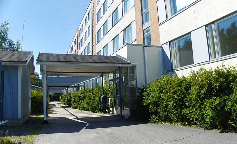
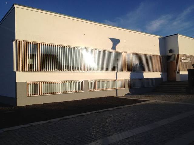
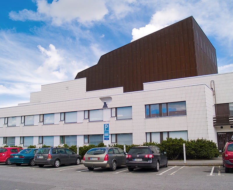
Kasperi is a district and the oldest suburb of Seinäjoki, Finland. It is located about four kilometers to the southeast from the city center. Kasperi is a part of the Kasperi ward, which also includes the eastern Kivistö and Hallilanvuori districts. The area has multiple services such as a school, a convenience store, a pub and a dentist office. ()
Coordinates: 62°46'11"N, 22°52'38"E
Address
Seinäjoki
ContactAdd
Social media
Add
Getting there by public transportation
Public transportation stops near this location
- Bus
 Bus
Bus
- Calculate routeBjörkenheimintie P 29 min walk
- Calculate routeLiitostie E 30 min walk
Day trips


Frequently Asked Questions (FAQ)
How to get to Kasperi by public transport?
The nearest stations to Kasperi:
Bus
Bus
- Björkenheimintie P • Lines: 1 (29 min walk)
- Liitostie E • Lines: 1 (30 min walk)