Tuomiokirkonkatu, Tampere
Map

Map

Facts and practical information
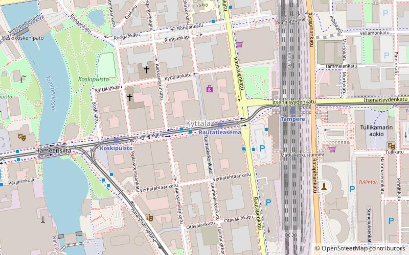
Tuomiokirkonkatu is a north–south street located in the center of Tampere, Finland, which runs through the districts of Jussinkylä and Kyttälä. The street is about a kilometer long. In the north it ends at Lapintie, in the south Vuolteenkatu. In Kyttälä, part of Tuomiokirkonkatu has been turned into a pedestrian street. In the future, the pedestrian section will be expanded so that it will eventually extend south from Kyttälänkatu to Suvantokatu and the Sori Square. ()
Address
Tampere
ContactAdd
Social media
Add
Day trips
Tuomiokirkonkatu – popular in the area (distance from the attraction)
Nearby attractions include: Vapriikki, Tampere Cathedral, Koskikeskus, Old Church.
Frequently Asked Questions (FAQ)
Which popular attractions are close to Tuomiokirkonkatu?
Nearby attractions include Kyttälä, Tampere (2 min walk), Hämeenkatu, Tampere (6 min walk), Hämeensilta, Tampere (6 min walk), Tampere Orthodox Church, Tampere (6 min walk).
How to get to Tuomiokirkonkatu by public transport?
The nearest stations to Tuomiokirkonkatu:
Light rail
Train
Bus
Light rail
- Rautatieasema A • Lines: 1, 3 (1 min walk)
- Koskipuisto A • Lines: 1, 3 (4 min walk)
Train
- Tampere (4 min walk)
Bus
- Central Square (8 min walk)
- Tampere, laituri 5 • Lines: Tampere - Helsinki (9 min walk)


