Sotunki, Vantaa
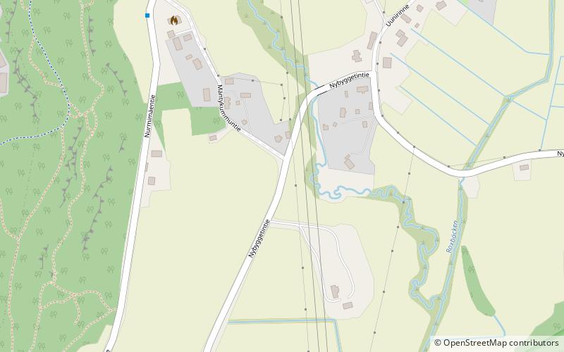
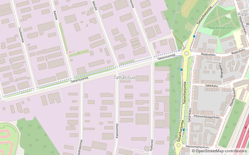
Map
Facts and practical information
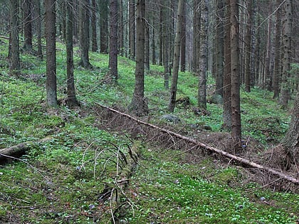
Sotunki is a district of the city of Vantaa, Finland. The district has an area of 13.7 square kilometers and a population of about 641, making it one of the least densely populated and most rural districts in the city. It is served by its own high school. The valley and farmland in Sotunki are the district's main attractions. The area has been inhabited since the palaeolithic, with three different stone age camp sites identified. ()
Address
Vantaa
ContactAdd
Social media
Add
Day trips
Sotunki – popular in the area (distance from the attraction)
Nearby attractions include: Heureka, Aurinkolahti Beach, Easton Helsinki, Forever Hiekkaharju.
Frequently Asked Questions (FAQ)
How to get to Sotunki by public transport?
The nearest stations to Sotunki:
Bus
Bus
- Mäntykummuntie • Lines: 588, 719, 719K (6 min walk)
- Nurmimäentie • Lines: 588, 719, 719B, 719K (10 min walk)

