Laajalahti, Helsinki
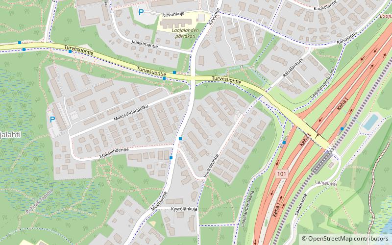
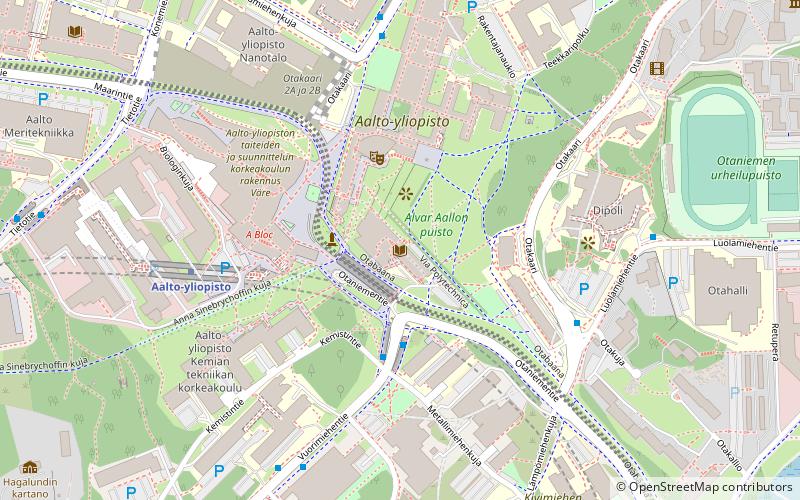
Map
Facts and practical information
Laajalahti is a district of Espoo, a city in Finland. It belongs to the area of Suur-Tapiola together with Westend, Tapiola, Pohjois-Tapiola, Otaniemi, Niittykumpu, Mankkaa, and Haukilahti. It gets its name from the bay on which it is located. Laajalahti belongs to three sectors; Laajaranta, Lupauksenvuori, and Ruukinranta. ()
Address
Helsinki
ContactAdd
Social media
Add
Day trips
Laajalahti – popular in the area (distance from the attraction)
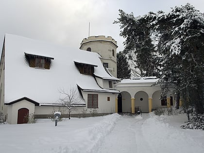
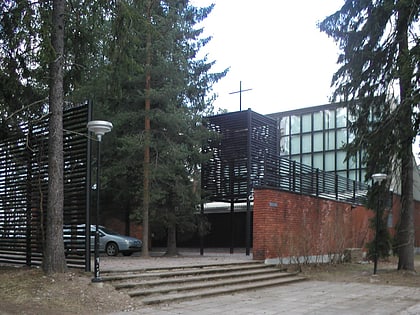
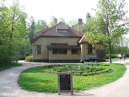
Nearby attractions include: Gallen-Kallela Museum, Vermo, Otaniemi Chapel, Dipoli.
Frequently Asked Questions (FAQ)
Which popular attractions are close to Laajalahti?
Nearby attractions include Pohjois-Tapiola, Espoo (14 min walk), Villa Elfvik, Espoo (17 min walk).
How to get to Laajalahti by public transport?
The nearest stations to Laajalahti:
Bus
Metro
Bus
- Makslahdentie • Lines: 113, 113N (2 min walk)
- Kirvunristi • Lines: 113, 113N (3 min walk)
Metro
- Aalto university • Lines: M1, M2 (33 min walk)
