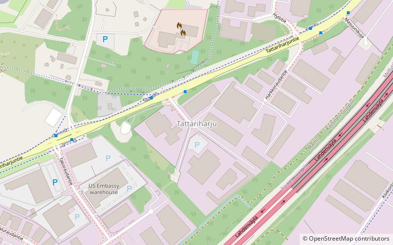
Tattariharju, Helsinki
Map
Facts and practical information
Tattariharju, known as Tattaråsen in Swedish, is a northern neighbourhood of Helsinki, Finland. ()
Address
Koillinen (Malmi)Helsinki
ContactAdd
Social media
Add
Getting there by public transportation
Public transportation stops near this location
- Metro
- Bus
- Train
 Metro
Metro
- Calculate routeKankiraudantie 2 min walk
- Calculate routeMalmin lentokenttä 6 min walk
- Calculate routeHarkkoraudantie 7 min walk
- Calculate routeTattarisilta 8 min walk
- Calculate routeKontula 34 min walk
- Calculate routeTapanila 36 min walk
Day trips


Frequently Asked Questions (FAQ)
How to get to Tattariharju by public transport?
The nearest stations to Tattariharju:
Bus
Metro
Train
Bus
- Kankiraudantie • Lines: 69, 77, 77N (2 min walk)
- Malmin lentokenttä • Lines: 69, 77, 77N (6 min walk)
Metro
- Kontula • Lines: M2 (34 min walk)
Train
- Tapanila (36 min walk)