Enceinte gallo-romaine, Nantes
Map
Gallery
Facts and practical information
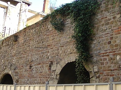
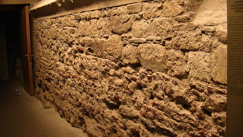
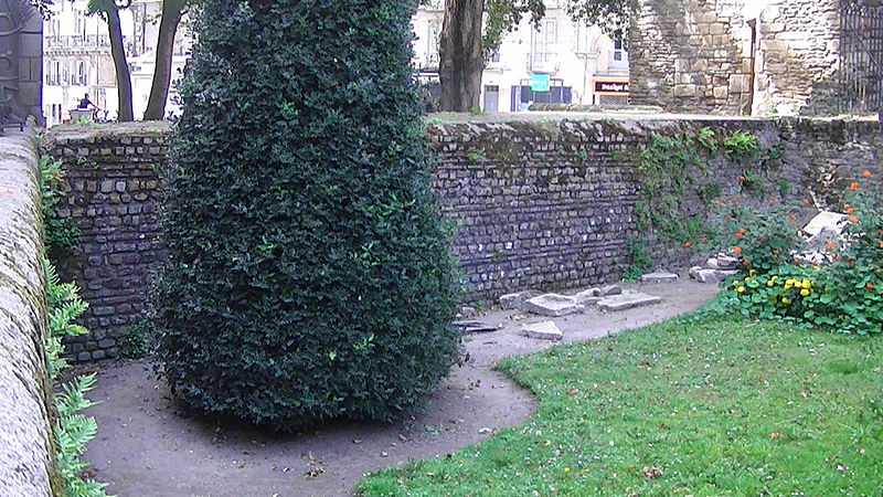
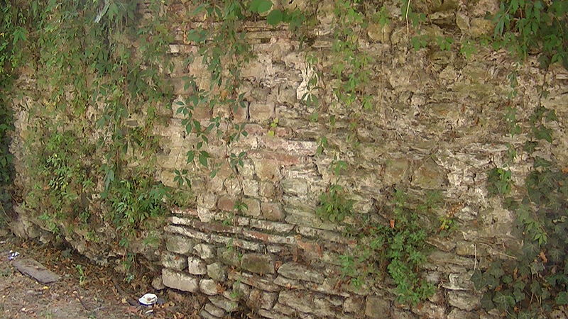
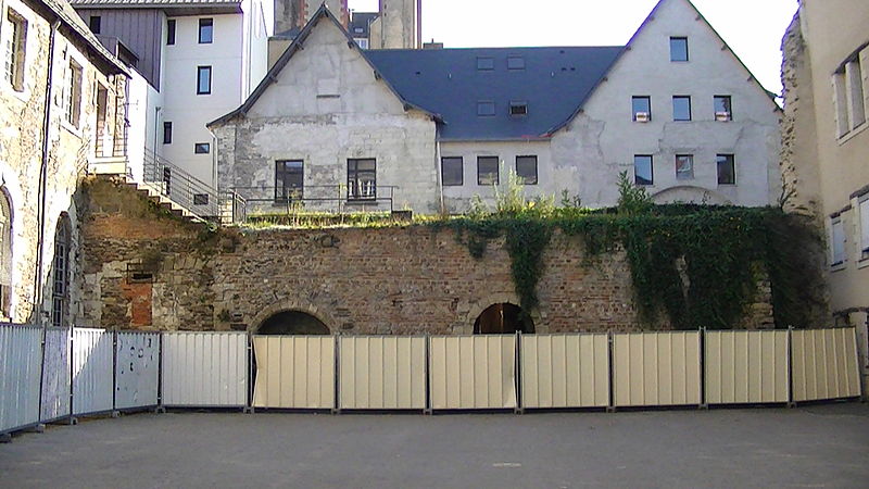
The Gallo-Roman enclosure of Nantes is a wall surrounding the city of Portus Namnetum, from the time of Roman Gaul until the High Middle Ages, of which only remnants remain.
Coordinates: 47°13'8"N, 1°33'10"W
Address
Centre Ville Nantes (Decré - Cathédrale)Nantes
ContactAdd
Social media
Add
Day trips
Enceinte gallo-romaine – popular in the area (distance from the attraction)
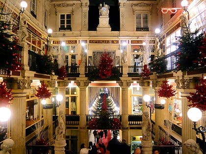
Nearby attractions include: Passage Pommeraye, Nantes Cathedral, Château des ducs de Bretagne, Tomb of Francis II.
Frequently Asked Questions (FAQ)
Which popular attractions are close to Enceinte gallo-romaine?
Nearby attractions include Drownings at Nantes, Nantes (2 min walk), Hôtel Saint-Aignan, Nantes (4 min walk), Tomb of Francis II, Nantes (4 min walk), Colonne Louis XVI, Nantes (4 min walk).
How to get to Enceinte gallo-romaine by public transport?
The nearest stations to Enceinte gallo-romaine:
Bus
Tram
Train
Ferry
Bus
- Saint-Pierre • Lines: 11, 12, C1, C6, Lu (2 min walk)
- Hôtel de Ville • Lines: 11, 12, C1, C6, Lu (3 min walk)
Tram
- 50 Otages • Lines: 2 (4 min walk)
- Place du Cirque • Lines: 2 (7 min walk)
Train
- Nantes (15 min walk)
Ferry
- Gare Maritime • Lines: N1 (34 min walk)
