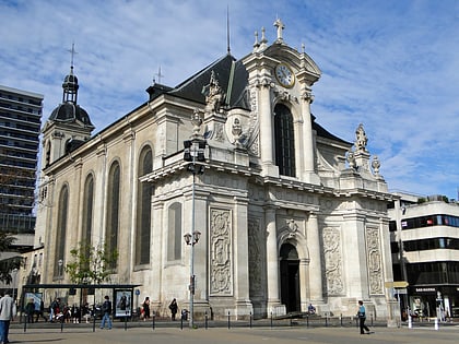
St. Joseph's Church, Nancy
Map
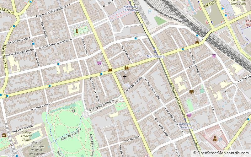
Map

Facts and practical information
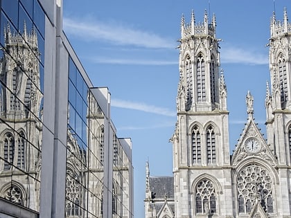
The Saint-Joseph de Nancy church is a neo-Romanesque church built in the 19th century and located in Nancy, in the rue de Mon-Désert.
Coordinates: 48°40'59"N, 6°10'28"E
Address
111 Rue Jeanne d'ArcMon Désert - Jeanne d'Arc (Prouvé - République - Garenne Nord)Nancy 54000
ContactAdd
Social media
Day trips
St. Joseph's Church – popular in the area (distance from the attraction)
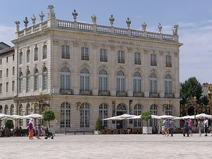
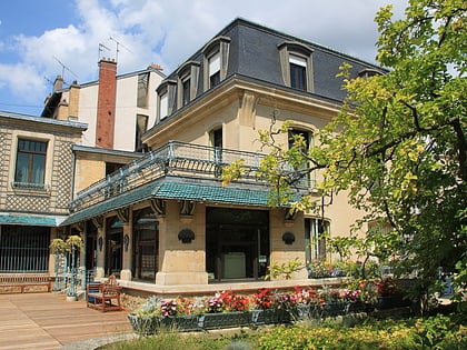
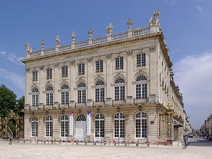
Nearby attractions include: Museum of Fine Arts, Place Stanislas, Villa Majorelle, Musée de l'École de Nancy.
Frequently Asked Questions (FAQ)
Which popular attractions are close to St. Joseph's Church?
Nearby attractions include Parc Sainte-Marie, Nancy (7 min walk), Musée de l'École de Nancy, Nancy (11 min walk), Les Glycines, Nancy (12 min walk), Église Saint-Léon IX, Nancy (12 min walk).
How to get to St. Joseph's Church by public transport?
The nearest stations to St. Joseph's Church:
Bus
Tram
Train
Bus
- Jeanne d'Arc • Lines: 16 (4 min walk)
- Mulhouse • Lines: 16 (6 min walk)
Tram
- Mon Désert • Lines: T1 (4 min walk)
- Garenne • Lines: T1 (6 min walk)
Train
- Nancy-Ville (12 min walk)

