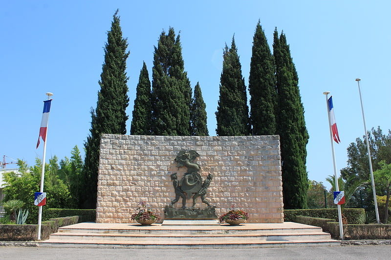
Rue Victor Hugo, Puget-sur-Argens

Gallery (1)
Map
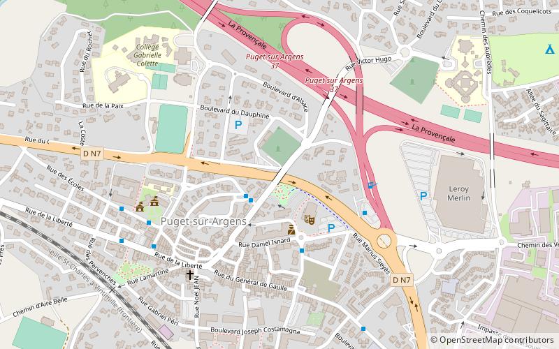
Map
Facts and practical information
Rue Victor Hugo (address: Rue Daniel Isnard) is a place located in Puget-sur-Argens (Provence-Alpes-Côte d'Azur region) and belongs to the category of bridge.
It is situated at an altitude of 118 feet, and its geographical coordinates are 43°27'26"N latitude and 6°41'12"E longitude.
Among other places and attractions worth visiting in the area are: Saint-Pierre Chapel, Roquebrune-sur-Argens (church, 58 min walk), Arènes de Fréjus, Fréjus (arenas and stadiums, 67 min walk), Church of St. Peter St. Paul, Roquebrune-sur-Argens (church, 69 min walk).
Coordinates: 43°27'26"N, 6°41'12"E
Address
Rue Daniel IsnardPuget-sur-Argens
ContactAdd
Social media
Add
Day trips