Parc de la Citadelle, Strasbourg
Map

Map

Facts and practical information
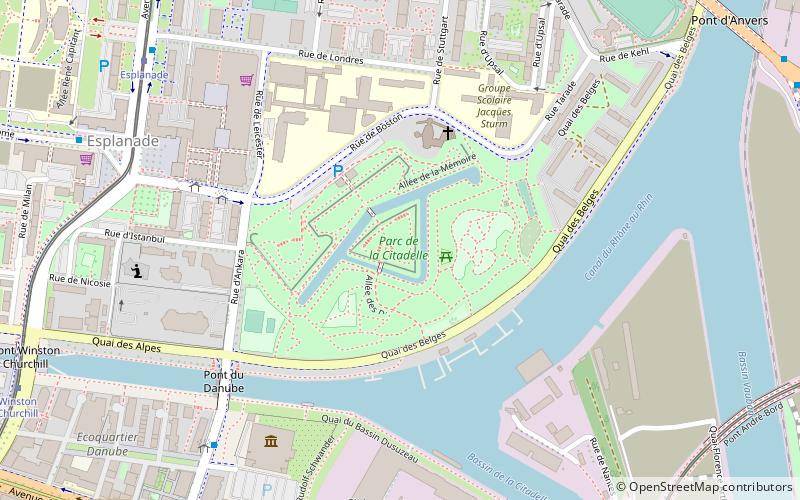
The Citadel Park is a public park of the city of Strasbourg located on the site of the old citadel in the Esplanade district.
Elevation: 466 ft a.s.l.Coordinates: 48°34'33"N, 7°46'30"E
Address
Parc de la CitadelleEsplanade (Esplanade Sud Est)Strasbourg 67000
Contact
Social media
Add
Day trips
Parc de la Citadelle – popular in the area (distance from the attraction)
Nearby attractions include: Musée de l'Œuvre Notre-Dame, Musée Alsacien, St. Paul's Church, Musée historique de Strasbourg.
Frequently Asked Questions (FAQ)
Which popular attractions are close to Parc de la Citadelle?
Nearby attractions include Le Vaisseau, Strasbourg (6 min walk), Esplanade, Strasbourg (8 min walk), Observatory of Strasbourg, Strasbourg (15 min walk), University of Strasbourg, Strasbourg (15 min walk).
How to get to Parc de la Citadelle by public transport?
The nearest stations to Parc de la Citadelle:
Bus
Tram
Train
Bus
- Ankara • Lines: 30 (6 min walk)
- Danube • Lines: 30 (7 min walk)
Tram
- Esplanade • Lines: E, Tram C (8 min walk)
- Place d'Islande • Lines: F (9 min walk)
Train
- Krimmeri-Meinau (34 min walk)


