Cité ouvrière Les Dents de Scie, Montigny-le-Bretonneux
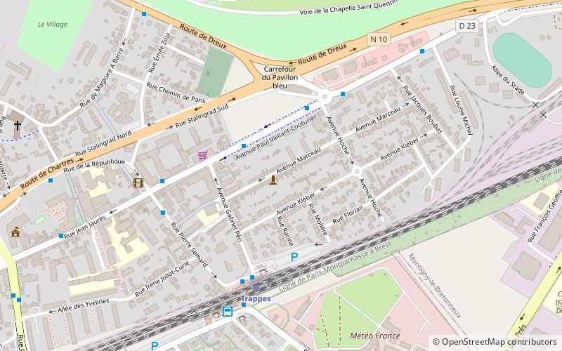
Map

Gallery

Facts and practical information
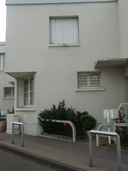
Les Dents de Scie is a working-class housing estate built in 1931 in Trappes in the Yvelines. This complex of forty dwellings is located at 6 to 60 and 5 to 27, avenue Marceau in Trappes.
Coordinates: 48°46'38"N, 2°0'27"E
Address
Montigny-le-Bretonneux
ContactAdd
Social media
Add
Day trips
Cité ouvrière Les Dents de Scie – popular in the area (distance from the attraction)
Nearby attractions include: Étang de Saint-Quentin, Fort de Saint-Cyr, Trappes, Saint-George.
Frequently Asked Questions (FAQ)
Which popular attractions are close to Cité ouvrière Les Dents de Scie?
Nearby attractions include Saint-George, Montigny-le-Bretonneux (10 min walk), Trappes, Montigny-le-Bretonneux (11 min walk), Étang de Saint-Quentin, Montigny-le-Bretonneux (21 min walk).


