Fort de Chelles, Chelles
Map
Gallery
Facts and practical information
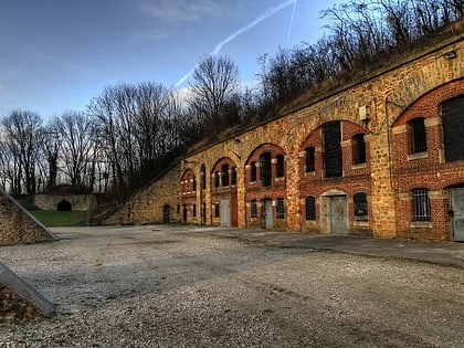
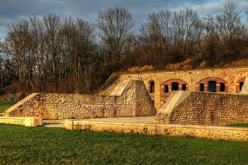
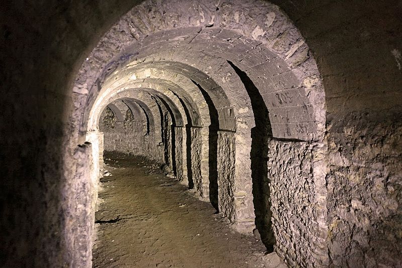
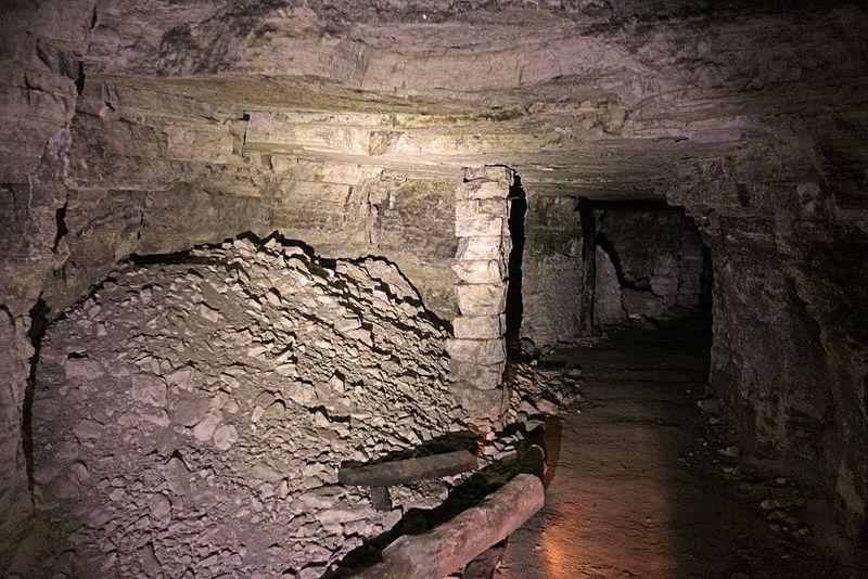
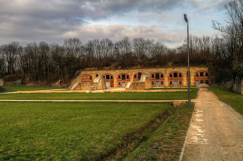
The Chelles fort is a fortification built between 1876 and 1878 in Chelles in the department of Seine-et-Marne. It is built on the highest point of the town, called the "mountain" and is part of the belt of forts imagined by General Raymond Adolphe Séré de Rivières to defend the Parisian agglomeration.
Coordinates: 48°53'6"N, 2°35'42"E
Address
Chelles
ContactAdd
Social media
Add
Day trips
Fort de Chelles – popular in the area (distance from the attraction)
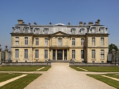
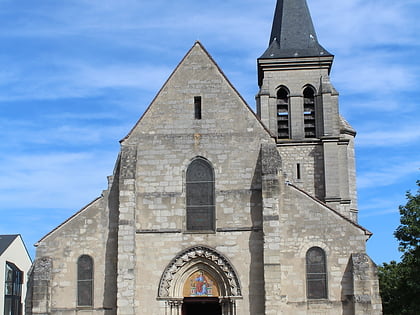
Nearby attractions include: Château de Champs-sur-Marne, Church of Saint Baudilus, Noisiel, Gournay-sur-Marne.
Frequently Asked Questions (FAQ)
Which popular attractions are close to Fort de Chelles?
Nearby attractions include St. Andrew's Church, Chelles (9 min walk), Moulin du Sempin, Chelles (24 min walk).
