Promenade Micaud, Besançon
Map
Gallery
Facts and practical information
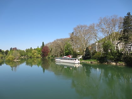
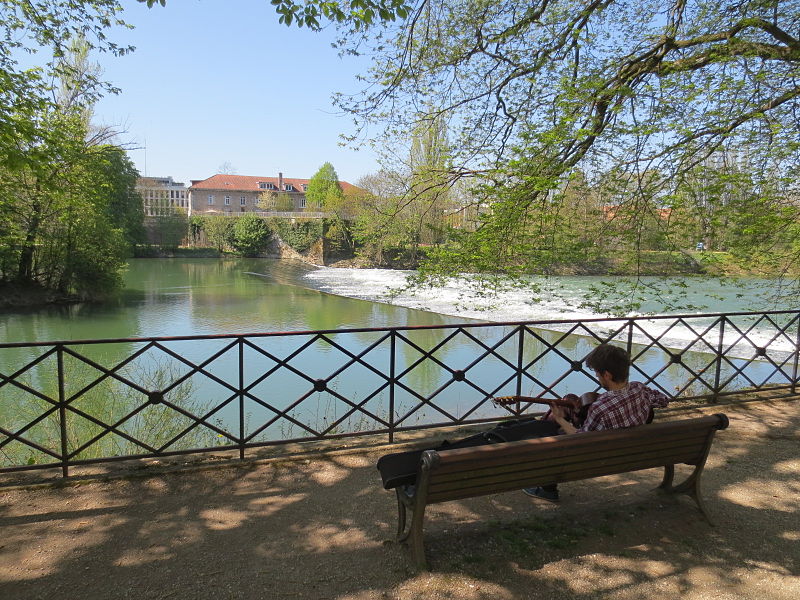
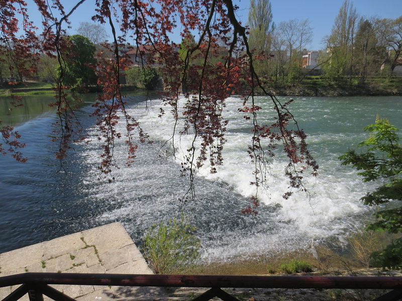
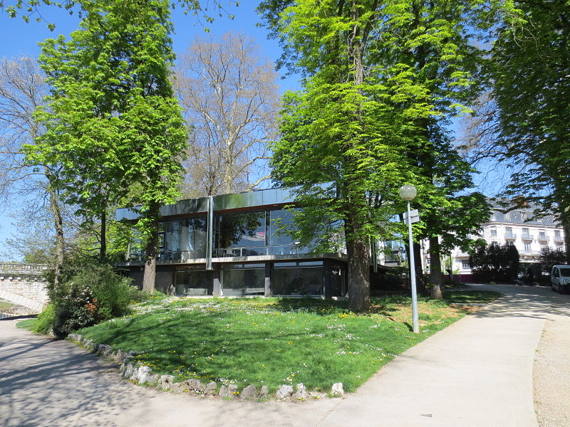
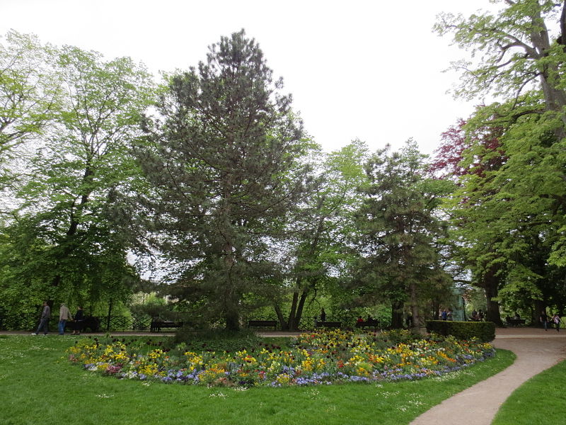
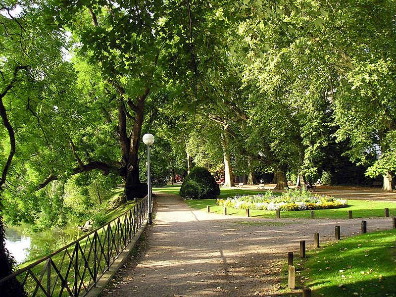
The Micaud park or Micaud walk is a public garden of Besançon located at the edge of the Doubs. It is named after Jean-Agathe Micaud, former mayor of Besançon from 1835 to 1843, and initiator of the park in 1843.
Area: 1.16 mi²Elevation: 810 ft a.s.l.Coordinates: 47°14'27"N, 6°1'55"E
Address
Chaprais - Cras (Mouillère)Besançon
ContactAdd
Social media
Add
Day trips
Promenade Micaud – popular in the area (distance from the attraction)
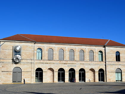
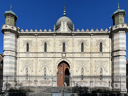
Nearby attractions include: Museum of Fine Arts and Archeology, Evangelical Missionary Church of Besançon, Synagogue of Besançon, Champs-Bruley cemetery.
Frequently Asked Questions (FAQ)
Which popular attractions are close to Promenade Micaud?
Nearby attractions include Casino JOA Besançon, Besançon (3 min walk), Chapelle capitulaire Saint-Paul, Besançon (5 min walk), Abbaye Saint-Paul, Besançon (5 min walk), Fort of Beauregard, Besançon (5 min walk).
How to get to Promenade Micaud by public transport?
The nearest stations to Promenade Micaud:
Bus
Train
Tram
Bus
- Gare de la Mouillère • Lines: L5, Plan B Tram (2 min walk)
- Diderot • Lines: L5, Plan B Tram (4 min walk)
Train
- Besançon-Mouillère (3 min walk)
- Besançon-Viotte (17 min walk)
Tram
- Parc Micaud • Lines: T1, T2 (5 min walk)
- République • Lines: T1, T2 (6 min walk)
