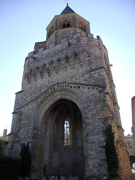
Clocher Saint-Martin, Sorèze

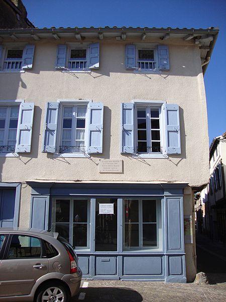
Gallery (8)
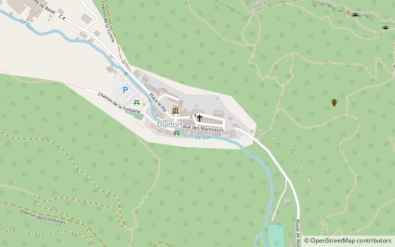
Map


Map

Gallery
Facts and practical information
Clocher Saint-Martin is a place located in Sorèze (Occitanie region) and belongs to the category of ruins.
It is situated at an altitude of 925 feet, and its geographical coordinates are 43°27'8"N latitude and 2°4'2"E longitude.
Among other places and attractions worth visiting in the area are: War Memorial (memorial, 4 min walk), Église Notre-Dame de la Paix (church, 4 min walk), Durfort (area, 25 min walk).
Coordinates: 43°27'8"N, 2°4'2"E
Address
Sorèze
ContactAdd
Social media
Add
Day trips


Frequently Asked Questions (FAQ)
Which popular attractions are close to Clocher Saint-Martin?
Nearby attractions include War Memorial, Sorèze (4 min walk), Église Notre-Dame de la Paix, Sorèze (4 min walk).