Château, Vernègues
Map
![Château location map](https://tzmedia.b-cdn.net/media/images/static-maps/fr/43_6902_5_16746.jpg)
Map
![Château location map](https://tzmedia.b-cdn.net/media/images/static-maps/fr/43_6902_5_16746.jpg)
Facts and practical information
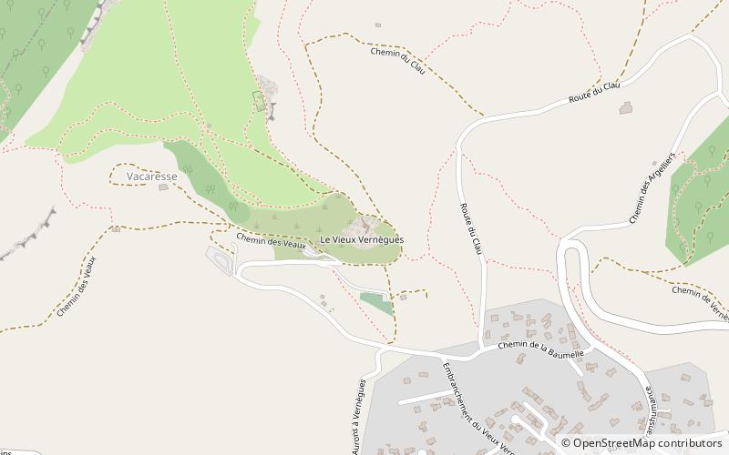
The Château de Vernègues is a ruined castle in the commune of Vernègues in the Bouches-du-Rhône département of France. ()
Coordinates: 43°41'25"N, 5°10'3"E
Address
Vernègues
ContactAdd
Social media
Add
Day trips
Château – popular in the area (distance from the attraction)
Nearby attractions include: Château de l'Empéri, Canal de Craponne, Chapel of the White Penitents, St. Lawrence Church.