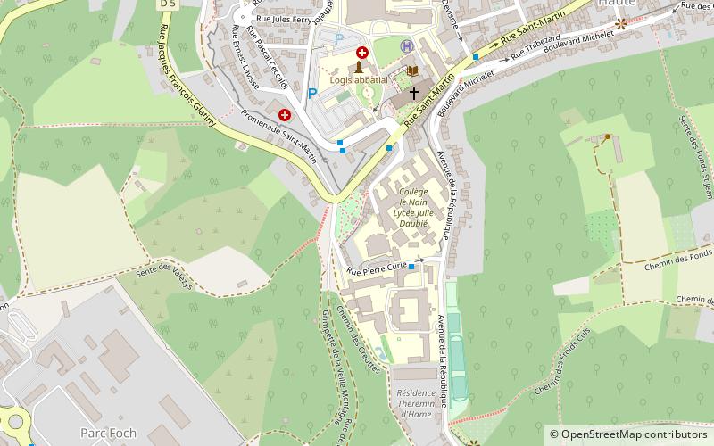
Porte de Soissons, Laon
Map

Map

Facts and practical information
The Porte de Soissons is a gate of Laon, erected at the very beginning of the XIII th century, which is an entrance to the ramparts of Laon.
Coordinates: 49°33'38"N, 3°36'38"E
Day trips
Porte de Soissons – popular in the area (distance from the attraction)
Nearby attractions include: Laon Cathedral, Abbey of St. Martin, Abbaye Saint-Jean de Laon, Cimetière militaire allemand de Laon-Bousson.
Frequently Asked Questions (FAQ)
Which popular attractions are close to Porte de Soissons?
Nearby attractions include Tour penchée, Laon (1 min walk), Abbey of St. Martin, Laon (5 min walk), Ancienne Abbaye Saint-Vincent, Laon (11 min walk), Porte des Chenizelles, Laon (13 min walk).
How to get to Porte de Soissons by public transport?
The nearest stations to Porte de Soissons:
Bus
Train
Bus
- Pôle Universitaire • Lines: N (2 min walk)
- Hôpital • Lines: 1, 2, N (3 min walk)
Train
- Laon (25 min walk)


