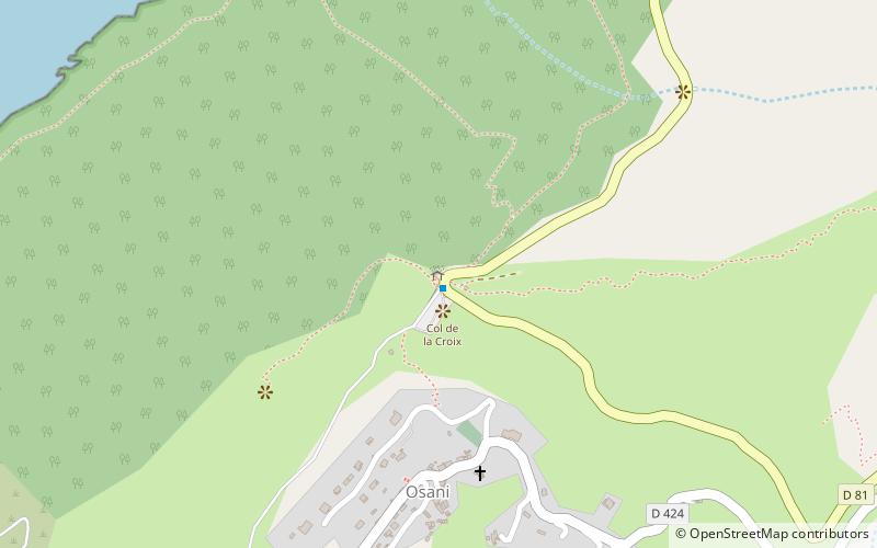
Col de la Croix, Parc naturel régional de Corse

Map
Facts and practical information
Col de la Croix is a mountain pass in the department of Corse-du-Sud in France. ()
Maximum elevation: 883 ftCoordinates: 42°19'37"N, 8°37'56"E
Address
Parc naturel régional de Corse
ContactAdd
Social media
Add
Day trips
Col de la Croix – popular in the area (distance from the attraction)
Nearby attractions include: Tour de Girolata, Scandola Nature Reserve, Torra di Portu, Torra di l'Isula di Gargali.


