Ruchottes-Chambertin, Gevrey-Chambertin
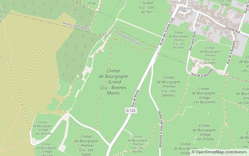
Map
Facts and practical information
Ruchottes-Chambertin is an Appellation d'origine contrôlée and Grand Cru vineyard for red wine in the Côte de Nuits subregion of Burgundy, with Pinot noir as the main grape variety. Ruchottes-Chambertin is located within the commune of Gevrey-Chambertin. It is situated high up on the Côte d'Or slope, above Mazis-Chambertin, and also borders on Gevrey-Chambertin Premier Cru vineyards in the north and south. The AOC was created in 1937. ()
Address
Gevrey-Chambertin
ContactAdd
Social media
Add
Day trips


Frequently Asked Questions (FAQ)
Which popular attractions are close to Ruchottes-Chambertin?
Nearby attractions include Town Hall, Gevrey-Chambertin (12 min walk), Château de Gevrey-Chambertin, Gevrey-Chambertin (16 min walk).