Parc de la Cerisaie, Lyon
Map
Gallery
Facts and practical information
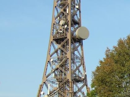
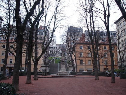
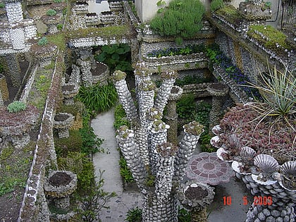
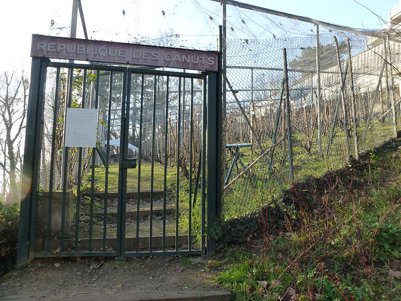
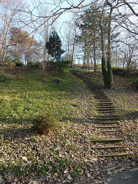
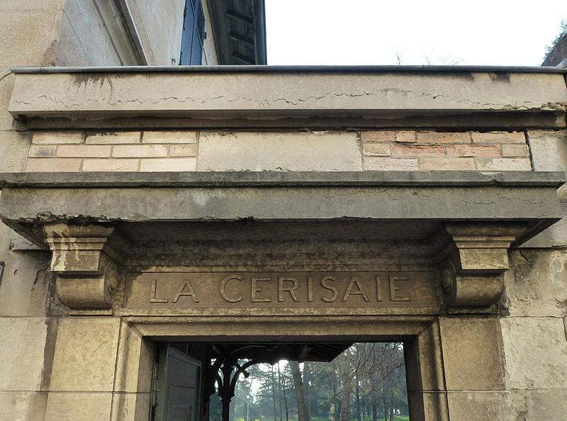
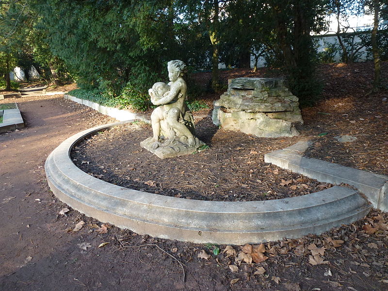
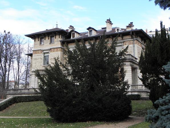
The parc de la Cerisaie is an urban park in the Croix-Rousse 4th arrondissement of Lyon, France. It is partially situated on a slope, leading from the plateau of the Croix-Rousse down towards the river Saône. ()
Day trips
Parc de la Cerisaie – popular in the area (distance from the attraction)
Nearby attractions include: Église Notre Dame Saint-Vincent, Church of Saint-Bruno des Chartreux, Gros Caillou, St. Paul's Church.
Frequently Asked Questions (FAQ)
Which popular attractions are close to Parc de la Cerisaie?
Nearby attractions include Fort Saint-Jean, Lyon (9 min walk), Church of Saint-Bruno des Chartreux, Lyon (10 min walk), 4th arrondissement of Lyon, Lyon (10 min walk), La Croix-Rousse, Lyon (14 min walk).
How to get to Parc de la Cerisaie by public transport?
The nearest stations to Parc de la Cerisaie:
Bus
Trolleybus
Ferry
Metro
Train
Bus
- Résidence Le Parc • Lines: S4 (1 min walk)
- Claude-Joseph Bonnet • Lines: 2 (5 min walk)
Trolleybus
- Claude-Joseph Bonnet • Lines: C18 (5 min walk)
- Bournes • Lines: C18 (5 min walk)
Ferry
- Vaise • Lines: Vaporetto (11 min walk)
- Saint-Paul - Hôtel de Ville • Lines: Vaporetto (21 min walk)
Metro
- Hénon • Lines: C (14 min walk)
- Valmy • Lines: D (16 min walk)
Train
- Lyon-Vaise (20 min walk)
- Lyon-Saint-Paul (20 min walk)



 Metro
Metro