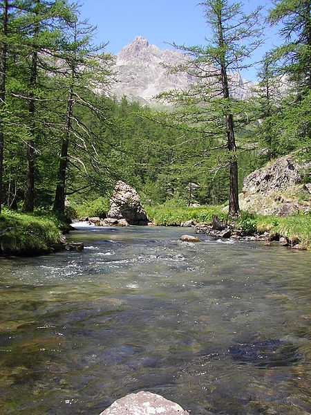
Clarée, Serre-Chevalier
Map

Gallery

Facts and practical information
The Clarée is a river in southeastern France, a right tributary to the Durance. It is 31.9 km long. Its drainage basin is 189 km2. Its source is in the Cottian Alps, near Mont Thabor and Valloire. It flows for all of its course in the Hautes-Alpes department. Its confluence with the Durance is near the hamlet of Les Alberts not far from the source of the Durance in the ski resort of Montgenevre. ()
Address
Serre-Chevalier
ContactAdd
Social media
Add
Day trips
Clarée – popular in the area (distance from the attraction)
Nearby attractions include: Mont Chaberton, Parc 1326, Ouvrage Gondran, Fort des Têtes.


