Promenade des Anglais, Nice
Map
Gallery
Facts and practical information
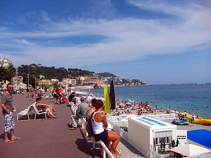
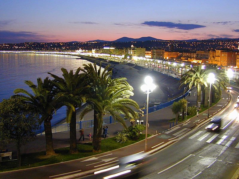
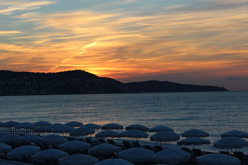
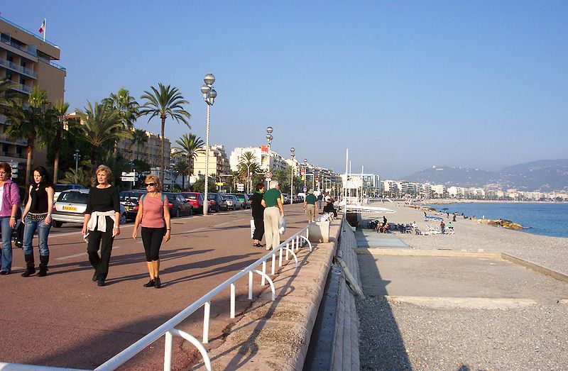
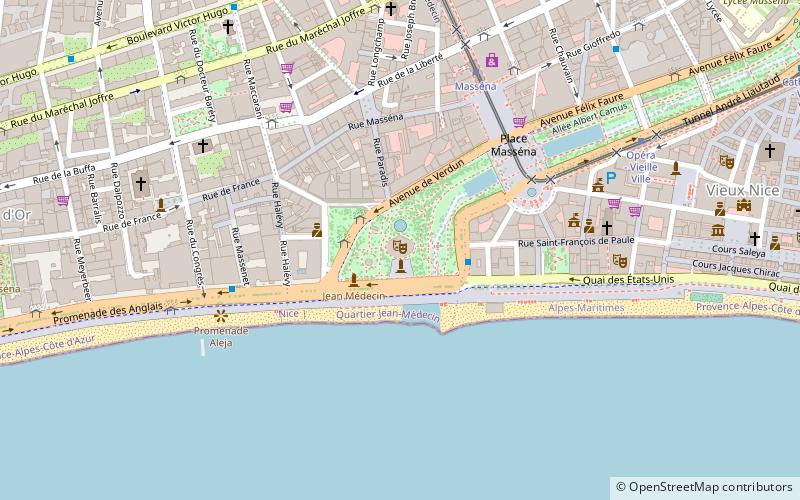
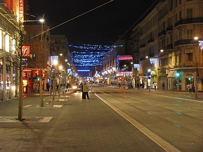
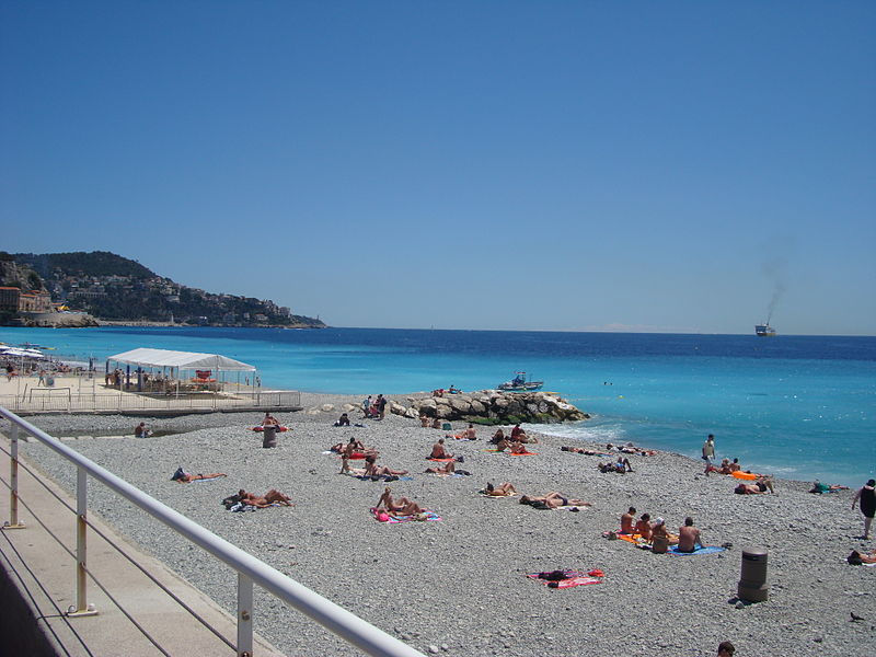
The Promenade des Anglais is a promenade along the Mediterranean coast of Nice, France. It extends from the airport on the west to the Quai des États-Unis on the east, for a distance of approximately 7 km. Administratively speaking, it forms part of Route nationale 98, which runs between Toulon and Menton. ()
Day trips
Promenade des Anglais – popular in the area (distance from the attraction)
Nearby attractions include: Russian Orthodox Cathedral, Musée international d'Art naïf Anatole Jakovsky, Place Masséna, Musée des Beaux-Arts de Nice.
Frequently Asked Questions (FAQ)
Which popular attractions are close to Promenade des Anglais?
Nearby attractions include Musée des Beaux-Arts de Nice, Nice (7 min walk), Villa Furtado-Heine, Nice (8 min walk), Museum of Art and History, Nice (17 min walk), Villa La Belle Époque, Nice (17 min walk).
How to get to Promenade des Anglais by public transport?
The nearest stations to Promenade des Anglais:
Tram
Bus
Train
Tram
- Magnan • Lines: 2 (3 min walk)
- Centre Universitaire Méditerranéen • Lines: 2 (5 min walk)
Bus
- Magnan / Promenade • Lines: 12, 230A, Exp3 (3 min walk)
- Rosa Bonheur / Promenade • Lines: 12 (3 min walk)
Train
- Saint-Philippe (22 min walk)
- Parc Impérial (27 min walk)
