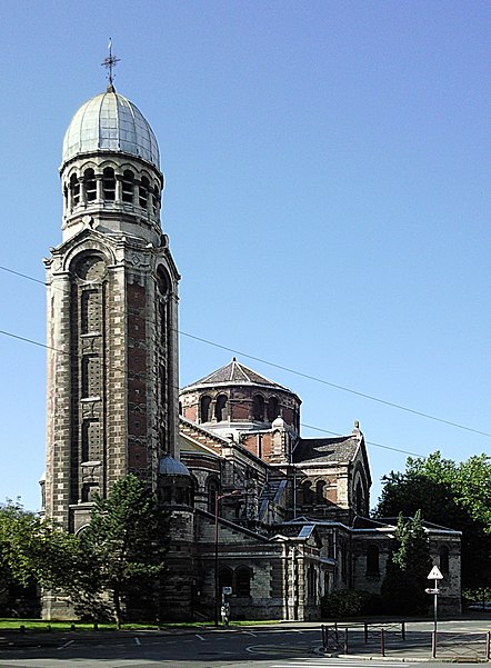
Saint-Sauveur Church, Lille
Map
Gallery
Facts and practical information
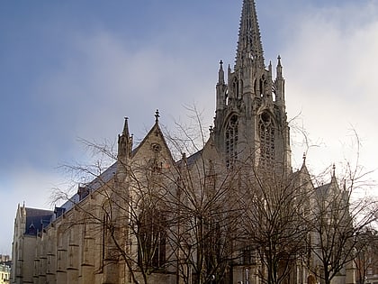
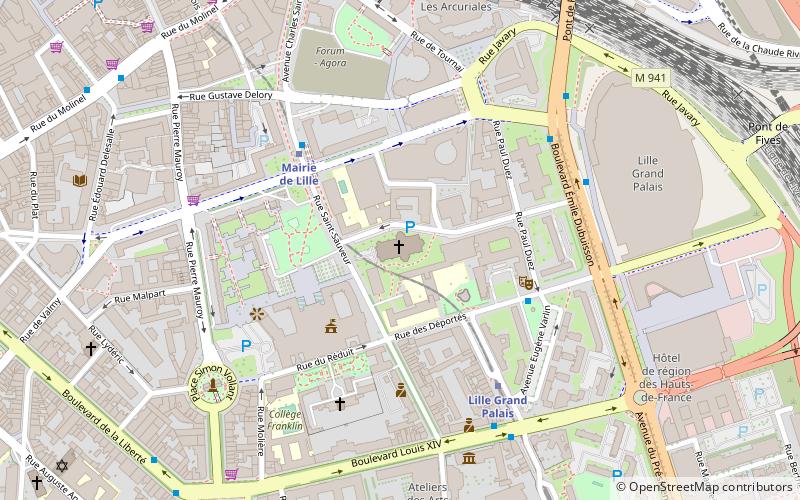
The Saint-Sauveur church is located on rue Saint-Sauveur in Lille, in the district of Lille-Centre. Its construction on the site of a former Gothic church burned in 1896 was spread from 1898 to 1902.
Degraded by seepage, it has been "closed for safety investigations" since 2015.
This site is served by the Mairie de Lille metro station.
Architectural style: EclecticismCoordinates: 50°37'53"N, 3°4'22"E
Day trips
Saint-Sauveur Church – popular in the area (distance from the attraction)
Nearby attractions include: Palais des Beaux-Arts de Lille, Euralille, Column of the Goddess, Hospice Comtesse.
Frequently Asked Questions (FAQ)
Which popular attractions are close to Saint-Sauveur Church?
Nearby attractions include City Hall, Lille (3 min walk), Belfry, Lille (4 min walk), Zénith de Lille, Lille (5 min walk), Porte de Paris, Lille (6 min walk).
How to get to Saint-Sauveur Church by public transport?
The nearest stations to Saint-Sauveur Church:
Metro
Bus
Train
Tram
Metro
- Mairie de Lille • Lines: 2 (4 min walk)
- Lille Grand Palais • Lines: 2 (5 min walk)
Bus
- Lille Grand Palais • Lines: 18 (4 min walk)
- Gare – Rue de Tournai • Lines: 14, L5 (8 min walk)
Train
- Lille-Flandres (9 min walk)
- Lille-Europe (14 min walk)
Tram
- Gare Lille Flandres • Lines: R, T (12 min walk)
- Romarin • Lines: R, T (26 min walk)


