Pont des Pélerins, Saint-Chély-d'Aubrac

Gallery (3)
Map
Map
Gallery
Facts and practical information
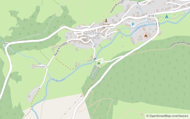
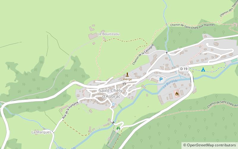
The Pont des Pèlerins is a medieval bridge crossing the Boralde river in Saint-Chély-d'Aubrac, Aveyron. The bridge is located on the via Podiensis, the pilgrimage route to Santiago de Compostela, and as such is a World Heritage Site by UNESCO. It is also registered as a historical monument since August 10, 2005.
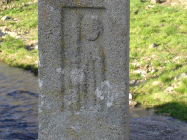
On the parapet of this bridge is a cross of way, at the base of which a bas-relief represents a pilgrim carrying his cloak and his staff.
Coordinates: 44°35'20"N, 2°55'17"E
Address
Saint-Chély-d'Aubrac
ContactAdd
Social media
Add
Day trips


Frequently Asked Questions (FAQ)
Which popular attractions are close to Pont des Pélerins?
Nearby attractions include Mairie de Saint-Chély d'Aubrac, Saint-Chély-d'Aubrac (3 min walk), War Memorial, Saint-Chély-d'Aubrac (3 min walk), Jardin botanique d'Aubrac, Saint-Chély-d'Aubrac (5 min walk).