St. Peter's Church, Bordeaux
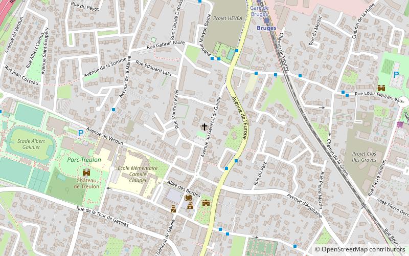
Map

Map

Facts and practical information
The Saint-Pierre church is a Catholic church located in Bruges, in France.
Coordinates: 44°53'2"N, 0°36'43"W
Address
Bruges (Centre Ville Bruges)Bordeaux
ContactAdd
Social media
Add
Day trips
St. Peter's Church – popular in the area (distance from the attraction)
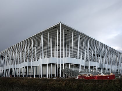
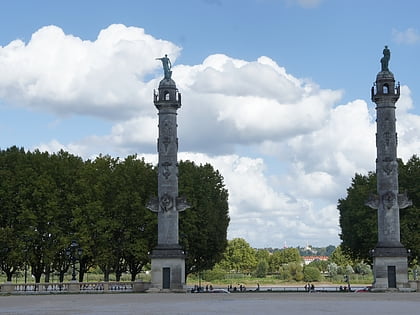
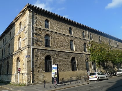
Nearby attractions include: Nouveau Stade de Bordeaux, BETASOM, Place des Quinconces, CAPC.
Frequently Asked Questions (FAQ)
How to get to St. Peter's Church by public transport?
The nearest stations to St. Peter's Church:
Bus
Train
Tram
Bus
- Bruges Centre • Lines: 29, 35, 72 (3 min walk)
- Fleuranceau • Lines: 29, 72 (4 min walk)
Train
- Bruges (7 min walk)
Tram
- Gare de Bruges • Lines: C (8 min walk)
- Ausone • Lines: C (15 min walk)


