Trek Zone

Javen Haut, Megève

#5 among attractions in Megève

Nature, Lake
Javen Haut

Facts and practical information

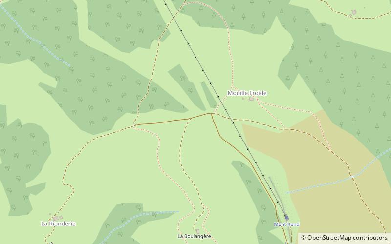
Javen Haut (address: Chemin de la Rée) is a place located in Megève (Auvergne-Rhône-Alpes region) and belongs to the category of nature, lake.

It is situated at an altitude of 4521 feet, and its geographical coordinates are 45°50'2"N latitude and 6°38'13"E longitude.

Among other places and attractions worth visiting in the area are: Calvaire : ensemble des éléments architecturaux et des bâtiments le composant (historical place, 41 min walk), St. John the Baptist Church (church, 46 min walk), Mont d'Arbois (nature, 61 min walk).

Elevation: 4521 ft a.s.l.Coordinates: 45°50'2"N, 6°38'13"E
Address

Chemin de la RéeMegève France

ContactAdd
Social media
Add

Megève plan & book

Unleash the traveler in you — discover the cheapest flight deals, find the perfect hotel or hostel nearby, and search for the best car rental prices. Travel at your own pace to discover new places and enjoy your journey.

Day trips

Javen Haut – popular in the area (distance from the attraction)

Nearby attractions include: Espace Diamant, Thermes de Saint Gervais Mont-Blanc, Mont Joly, Aiguille Croche.

  • espace diamant location map
    4.8 miSW
  • thermes de saint gervais mont blanc saint gervais les bains5.4 miNE
  • mont joly2.8 miE
  • aiguille croche2.5 miSE
  • mont darbois megeve2.4 miNE
  • st john the baptist church megeve1.8 miNW
  • st nicholas church combloux4.3 miN
  • tete de la cicle6 miSE
  • calvaire ensemble des elements architecturaux et des batiments le composant megeve1.6 miN
  • refuge de tre la tete les contamines montjoie5.5 miSE
  • eglise saint andre de domancy5.5 miN

Where to next? Visit auvergne rhone alpes Auvergne-Rhône-Alpes region page or discover the top tourist attractions in France.