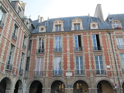
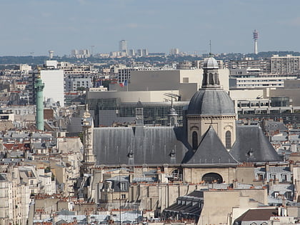
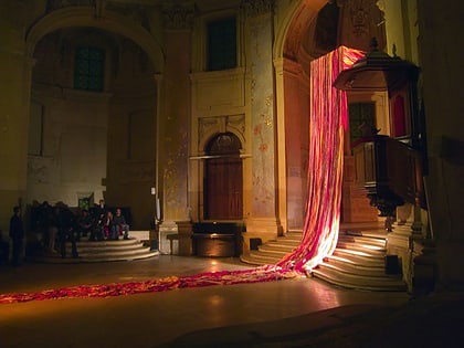
Boulevard de la Bastille, Paris
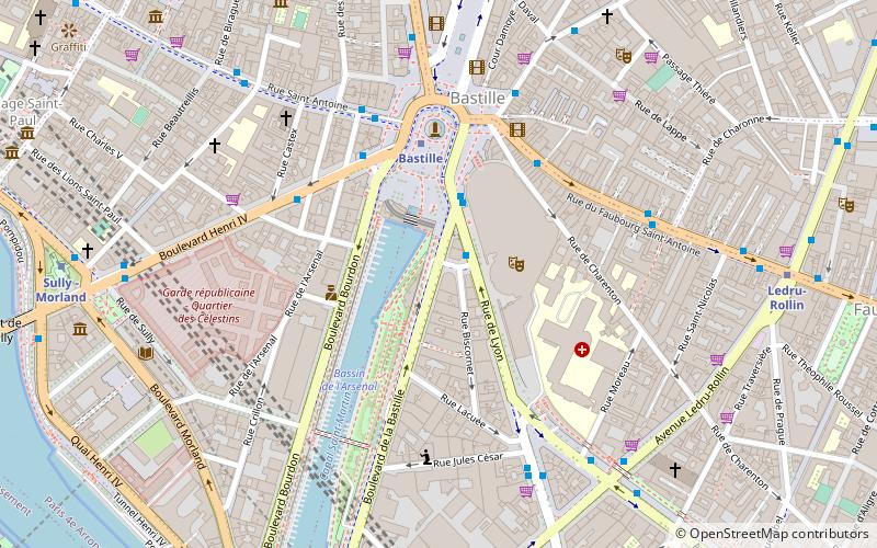
Map
Gallery
Facts and practical information
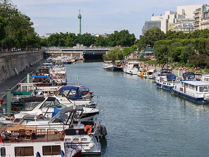
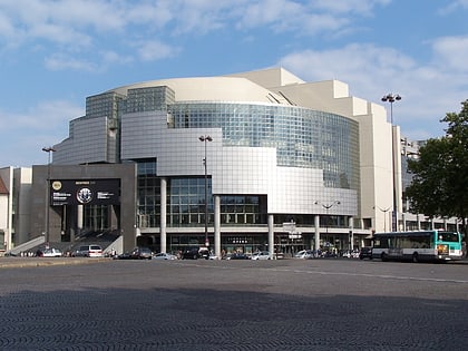
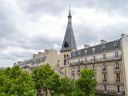
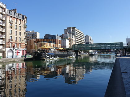
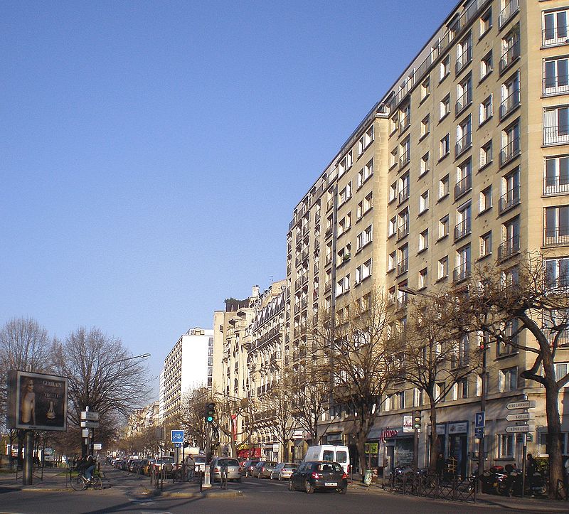
The Boulevard de la Bastille is the southwesternmost street of the 12th arrondissement of Paris, situated in the quartier called Quinze-Vingts. It overlooks the east side of the Paris marina, known as the Port de Plaisance or Port de l'Arsenal, with which it forms a boundary with the 4th arrondissement of Paris. The boulevard also lies directly north of the border between the 5th arrondissement and the 13th arrondissement of Paris. ()
Address
Reuilly (Quinze-Vingts)Paris
ContactAdd
Social media
Add
Day trips
Boulevard de la Bastille – popular in the area (distance from the attraction)
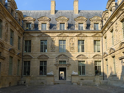
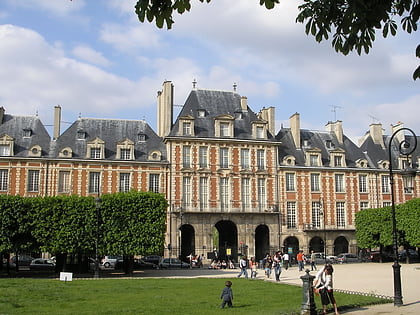
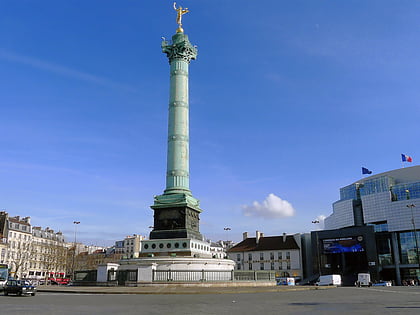
Nearby attractions include: Hôtel de Sully, Bassin de l'Arsenal, Place des Vosges, July Column.
Frequently Asked Questions (FAQ)
Which popular attractions are close to Boulevard de la Bastille?
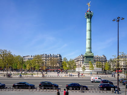
Nearby attractions include Jardin du port de l'Arsenal, Paris (3 min walk), Fontaine de la Régénération, Paris (4 min walk), July Column, Paris (4 min walk), Canal de l'Ourcq, Paris (4 min walk).
How to get to Boulevard de la Bastille by public transport?
The nearest stations to Boulevard de la Bastille:
Bus
Metro
Ferry
Train
Bus
- Bastille • Lines: 29, 87, 91, N01, N02, N11, N16 (2 min walk)
- Bastille - Henri IV • Lines: 86, 87 (4 min walk)
Metro
- Bastille • Lines: 1, 5, 8 (3 min walk)
- Ledru-Rollin • Lines: 8 (8 min walk)
Ferry
- Jardin des Plantes • Lines: Batobus (12 min walk)
- Hôtel-de-Ville • Lines: Batobus (20 min walk)
Train
- Gare de Lyon (13 min walk)
- Gare d'Austerlitz (18 min walk)

 Metro
Metro