Château de Trousseau, Évry
Map

Map

Facts and practical information
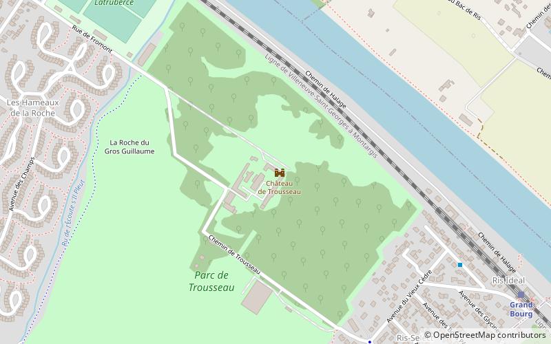
The castle of Trousseau is a French castle located in the commune of Ris-Orangis, in the Hurepoix region, in the Essonne department and the Île-de-France region, twenty-three kilometers southeast of Paris.
Coordinates: 48°39'2"N, 2°25'42"E
Address
Évry
ContactAdd
Social media
Add
Day trips
Château de Trousseau – popular in the area (distance from the attraction)
Nearby attractions include: Block Out, Lac de Viry-Châtillon, Évry Cathedral, Grand Mosque of Évry.
Frequently Asked Questions (FAQ)
How to get to Château de Trousseau by public transport?
The nearest stations to Château de Trousseau:
Bus
Train
Bus
- Grand-Bourg • Lines: 419 (8 min walk)
- Vieux Cèdre • Lines: 419 (8 min walk)
Train
- Grand Bourg (10 min walk)
- Ris-Orangis (23 min walk)


