Sommet du Pinet, Réserve naturelle nationale des Hauts de Chartreuse

Gallery (1)
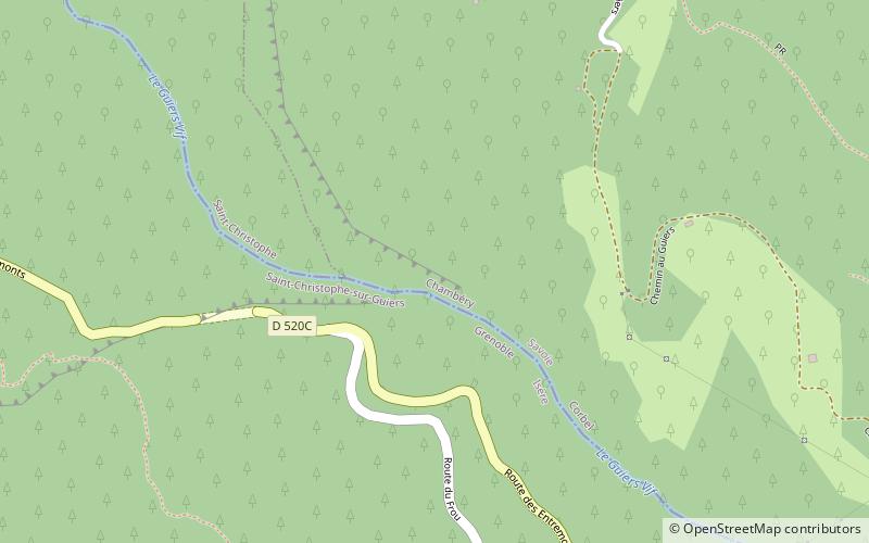
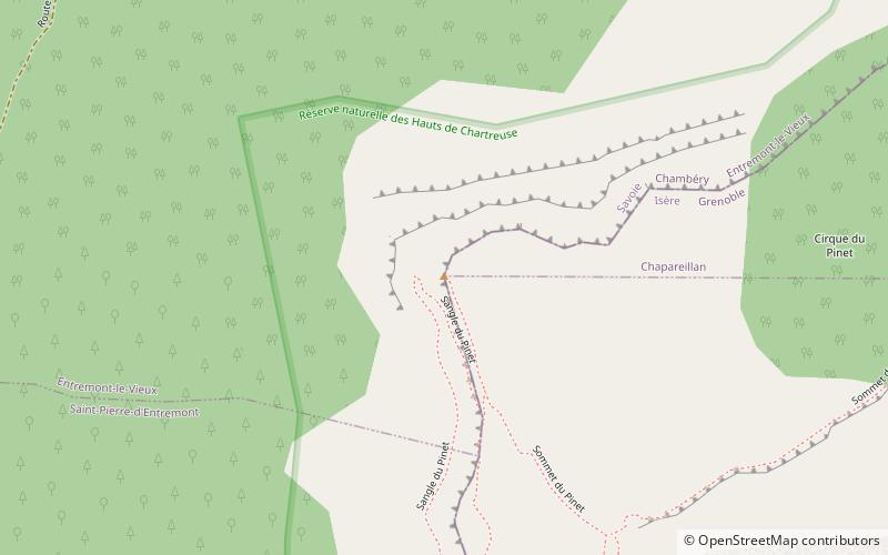
Map
Map
Facts and practical information
The Sommet du Pinet is a Chartreuse mountain situated at the south of the mont Granier, culminating at 1,867 m above sea level. ()
Address
Réserve naturelle nationale des Hauts de Chartreuse
ContactAdd
Social media
Add
Day trips