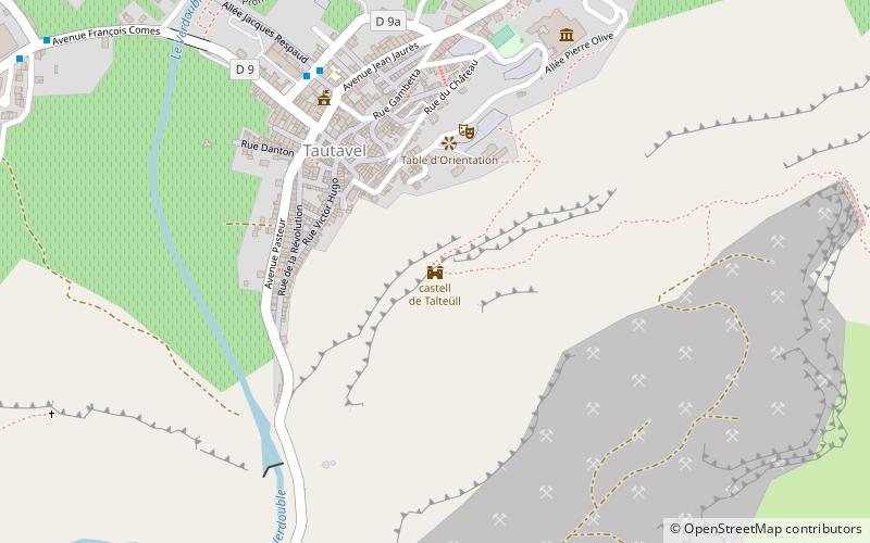
castell de Talteüll, Tautavel
Map

Map

Facts and practical information
The castle of Tautavel, in the commune of Tautavel, in the French department of Pyrénées-Orientales, is a castle built between the 11th and 13th centuries.
Coordinates: 42°48'42"N, 2°44'51"E
Address
Tautavel
ContactAdd
Social media
Add
Day trips
castell de Talteüll – popular in the area (distance from the attraction)
Nearby attractions include: Château d'Aguilar, Château de Padern, Caune de l'Arago, St. Mary's Church.


