Pic du Tourond, Écrins National Park

Gallery (1)
Map
Map
Facts and practical information
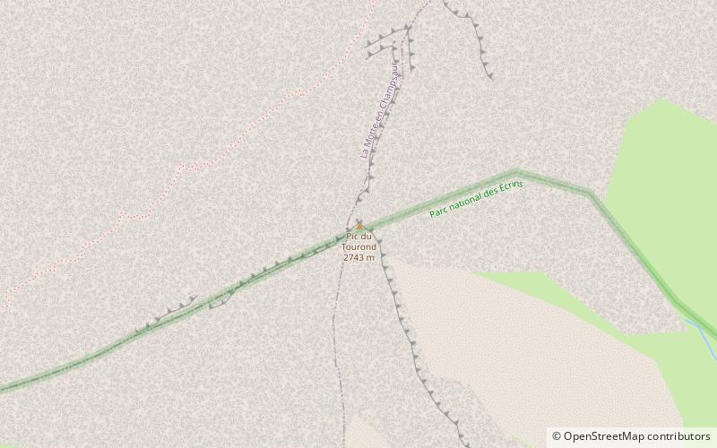
The Tourond peak is a peak culminating at 2 743 m altitude in the Écrins massif, in the Hautes-Alpes in the Provence-Alpes-Côte d'Azur region. It belongs to the natural region of Champsaur and is on the border of the Écrins National Park.
Coordinates: 44°42'58"N, 6°11'21"E
Address
Écrins National Park
ContactAdd
Social media
Add
Day trips


