Cours-la-Reine, Paris
Map
Gallery
Facts and practical information
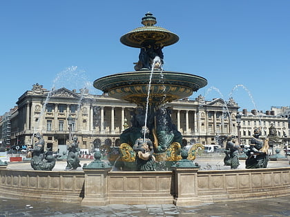
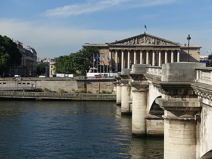
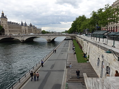
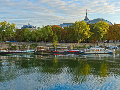
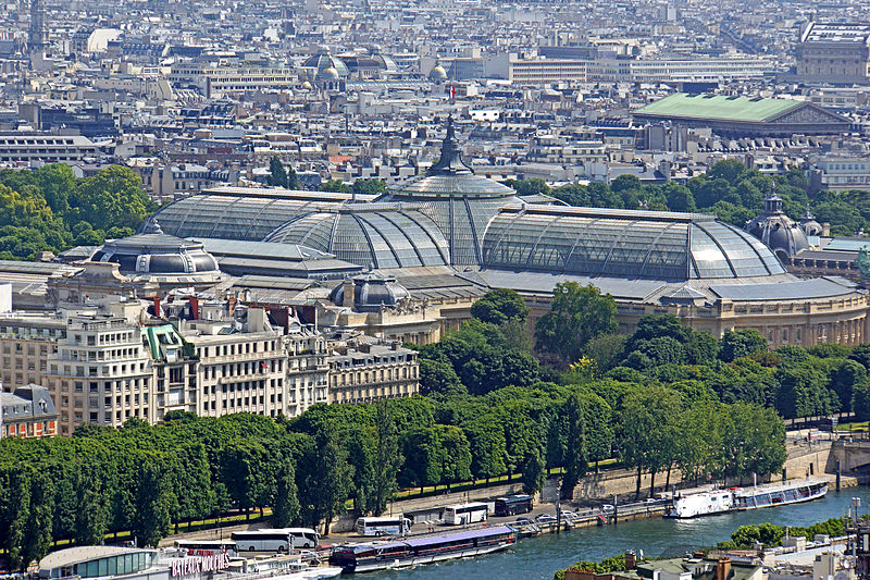
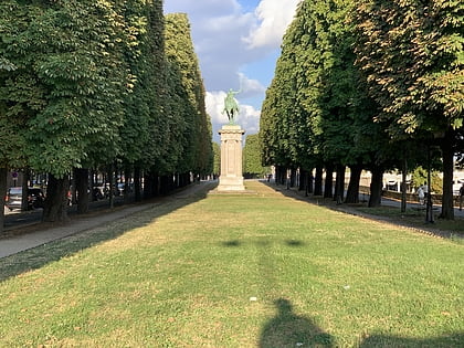
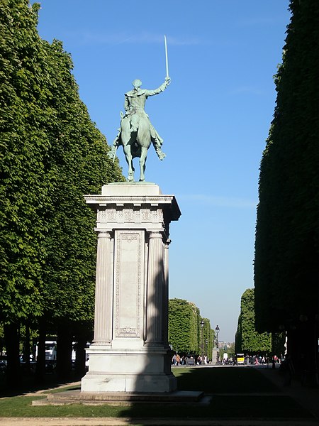
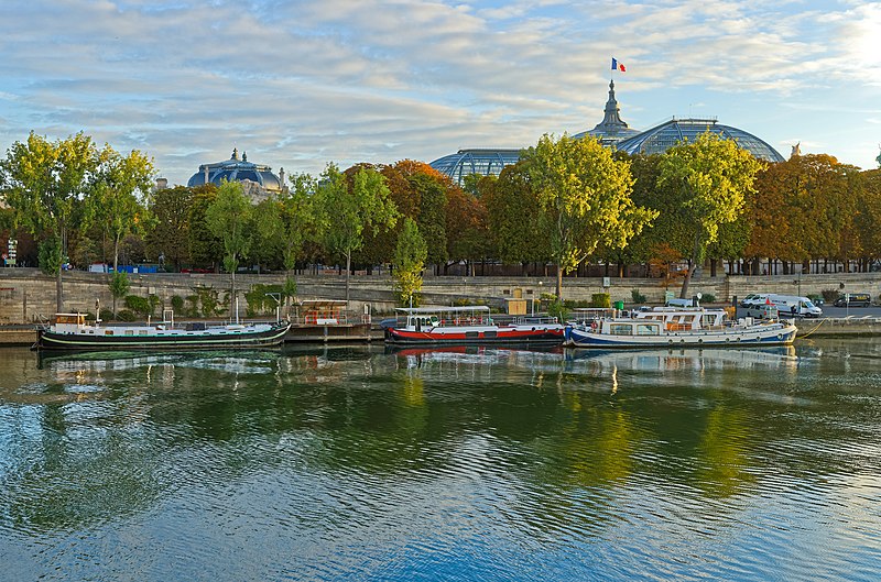
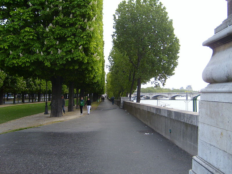
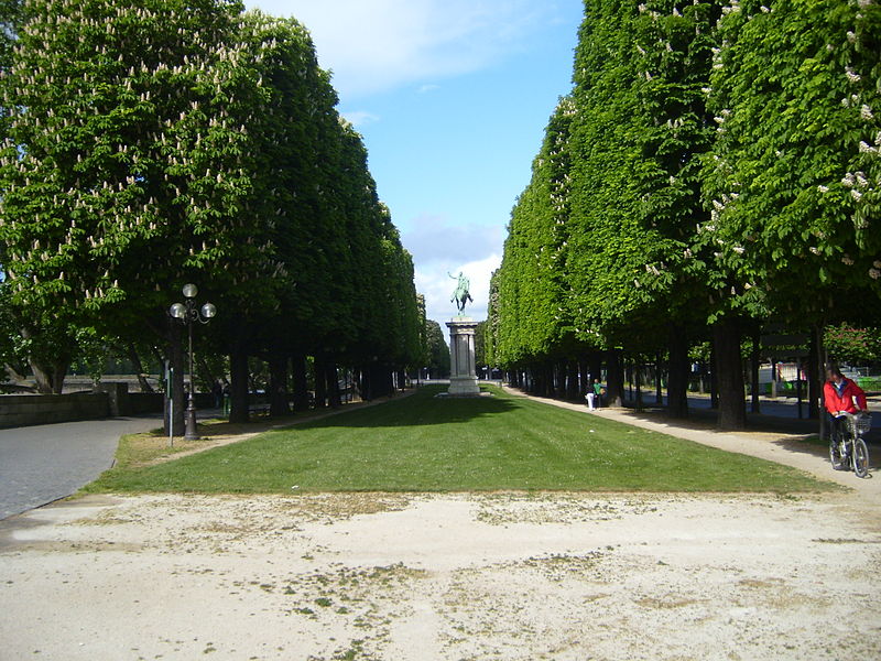
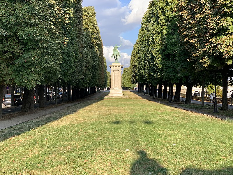
The Cours-la-Reine, also spelled Cours la Reine, is a public park and garden promenade located along the River Seine, between the Place de la Concorde and the Place du Canada, in the 8th arrondissement of Paris. It is one of the oldest parks in Paris, created in 1616 by Queen Marie de Medicis. The further extension of the garden between Place du Canada to Place d'Alma is called the Cours Albert Premier. ()
Day trips
Cours-la-Reine – popular in the area (distance from the attraction)
Nearby attractions include: Palais Bourbon, Grand Palais, Petit Palais, Luxor Obelisks.
Frequently Asked Questions (FAQ)
Which popular attractions are close to Cours-la-Reine?
Nearby attractions include Pont Alexandre III, Paris (3 min walk), Petit Palais, Paris (3 min walk), Boulevards of Paris, Paris (3 min walk), Promenade des Berges de la Seine, Paris (4 min walk).
How to get to Cours-la-Reine by public transport?
The nearest stations to Cours-la-Reine:
Bus
Ferry
Train
Metro
Bus
- Grand Palais • Lines: 72, 93, rouge (2 min walk)
- Pont Alexandre III • Lines: 63, 93, N01, N02 (4 min walk)
Ferry
- Port des Champs-Elysées • Lines: Batobus (2 min walk)
- Musée d'Orsay • Lines: Batobus (16 min walk)
Train
- Invalides (4 min walk)
- Musée d'Orsay (16 min walk)
Metro
- Champs-Élysées - Clemenceau • Lines: 1, 13 (5 min walk)
- Champs-Elysées - Clémenceau (6 min walk)


 Metro
Metro


