La Baronnie, Douvres-la-Délivrande

Gallery (2)
Map
Map
Gallery
Facts and practical information
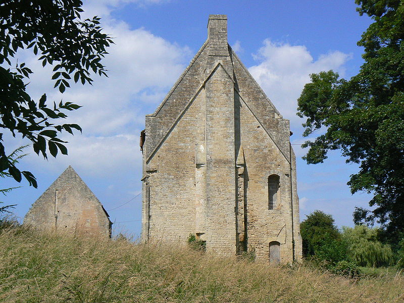
La Baronnie (address: 3. Froide rue) is a place located in Douvres-la-Délivrande (Normandy region) and belongs to the category of forts and castles.
It is situated at an altitude of 82 feet, and its geographical coordinates are 49°17'25"N latitude and 0°23'14"W longitude.
Among other places and attractions worth visiting in the area are: St. Remi Church (church, 5 min walk), La Delivrande War Cemetery (cemetery, 12 min walk), Basilique Notre-Dame de la Délivrande (architecture, 23 min walk).
Coordinates: 49°17'25"N, 0°23'14"W
Day trips


Frequently Asked Questions (FAQ)
Which popular attractions are close to La Baronnie?
Nearby attractions include St. Remi Church, Douvres-la-Délivrande (5 min walk), La Delivrande War Cemetery, Douvres-la-Délivrande (12 min walk), Basilique Notre-Dame de la Délivrande, Douvres-la-Délivrande (23 min walk), Couvent Notre-Dame-de-Fidélité, Douvres-la-Délivrande (23 min walk).