Canton of Évreux-Sud, Évreux

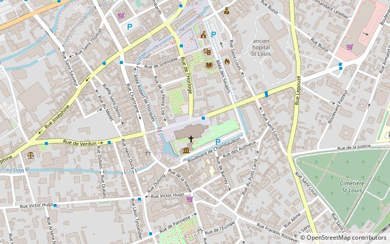
Map
Facts and practical information
The canton of Évreux-Sud is a former canton situated in the Eure département, France. It had 18,911 inhabitants. It was disbanded following the French canton reorganisation which came into effect in March 2015. It included a part of Évreux and the communes of Angerville-la-Campagne, Les Baux-Sainte-Croix, Guichainville, Le Plessis-Grohan, Saint-Luc and Les Ventes. ()
Address
Évreux
ContactAdd
Social media
Add
Day trips
Canton of Évreux-Sud – popular in the area (distance from the attraction)
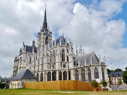
Nearby attractions include: Évreux Cathedral, Gravigny, Abbatiale Saint-Taurin, Guichainville.
Frequently Asked Questions (FAQ)
Which popular attractions are close to Canton of Évreux-Sud?
Nearby attractions include Évreux Cathedral, Évreux (1 min walk), Abbatiale Saint-Taurin, Évreux (12 min walk).


