Parc Henry-Chabert, Lyon
Map
Map

Facts and practical information
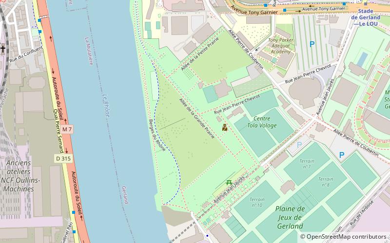
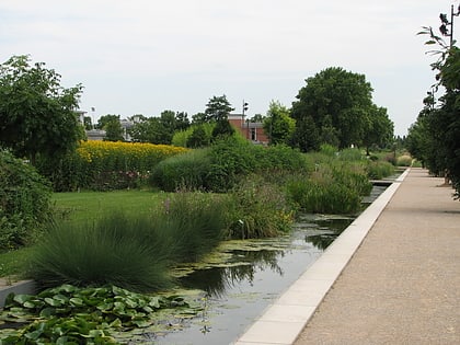
Parc Henry-Chabert, previously Parc de Gerland and also called Parc du Confluent, is a large greenspace in Lyon situated on a former industrial site in the south of the city near the confluence of the Rhône and the Saone. Construction began in 1996, and the park was developed over an area of 80 hectares. The initial two phases of construction concluded in 2000 and 2006, and were carried out by landscape architect Michel Corajoud. The project was managed by Grand Lyon. The park was renamed to Parc Henry-Chabert on 19 December 2020. ()
Day trips
Parc Henry-Chabert – popular in the area (distance from the attraction)
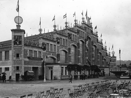
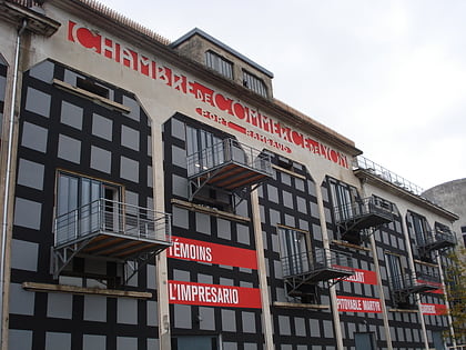
Nearby attractions include: Stade de Gerland, Musée des Confluences, Halle Tony Garnier, La Sucrière.
Frequently Asked Questions (FAQ)
Which popular attractions are close to Parc Henry-Chabert?
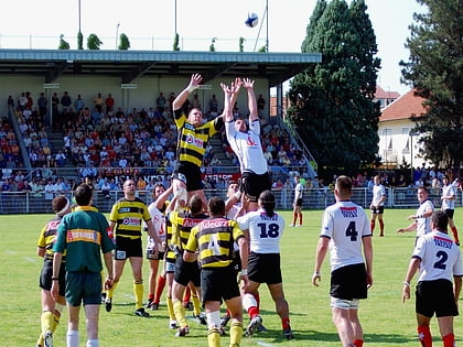
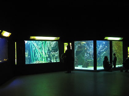
Nearby attractions include Stade de Gerland, Lyon (11 min walk), Aquarium du Grand Lyon, Lyon (13 min walk), Halle Tony Garnier, Lyon (14 min walk), Lyon Anglican Church, Lyon (18 min walk).
How to get to Parc Henry-Chabert by public transport?
The nearest stations to Parc Henry-Chabert:
Bus
Metro
Tram
Train
Bus
- Université Lyon 1 Gerland • Lines: 60 (8 min walk)
- Institut Pasteur • Lines: 60 (9 min walk)
Metro
- Stade de Gerland—Le LOU • Lines: B (12 min walk)
- Gare d'Oullins • Lines: B (16 min walk)
Tram
- Halle Tony Garnier • Lines: T1 (16 min walk)
- ENS Lyon • Lines: T1 (17 min walk)
Train
- Oullins (17 min walk)
 Metro
Metro

