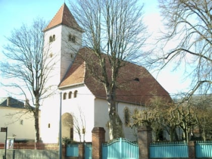
Fortifications of Saint-Quentin, Metz
Map
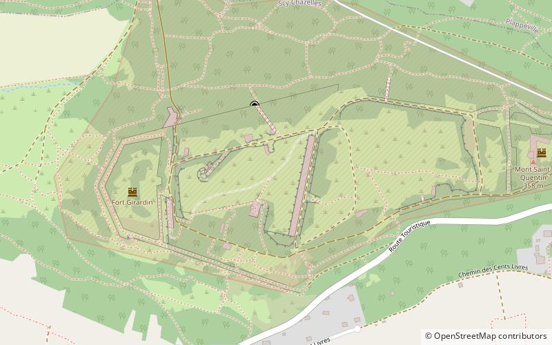
Map

Facts and practical information
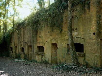
The Fortifications of Saint-Quentin, or Feste Prinz Friedrich Karl form a fortification group in the Scy-Chazelles municipality located northwest of Metz on the Mont Saint-Quentin. Constituted by forts Diou and Girardin, the group is part of the first fortified belt of forts around Metz and had its baptism of fire in late 1944, when the Battle of Metz occurred. ()
Local name: Groupe fortifié du Saint-Quentin Built: 1870 (156 years ago)Coordinates: 49°7'16"N, 6°7'9"E
Address
Metz
ContactAdd
Social media
Add
Day trips
Fortifications of Saint-Quentin – popular in the area (distance from the attraction)
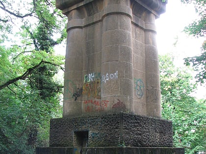
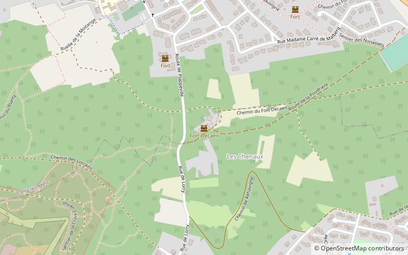
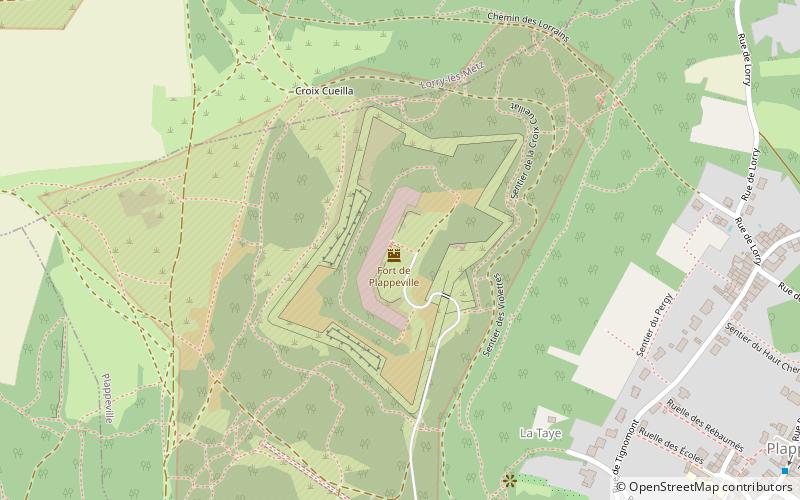
Nearby attractions include: Saint Quentin Church, Bismarck Tower, Fort Decaen, Fort de Plappeville.
Frequently Asked Questions (FAQ)
Which popular attractions are close to Fortifications of Saint-Quentin?
Nearby attractions include Plappeville, Metz (18 min walk), Bismarck Tower, Metz (19 min walk), Saint Quentin Church, Moulins-lès-Metz (20 min walk), Longeville-lès-Metz, Metz (23 min walk).
How to get to Fortifications of Saint-Quentin by public transport?
The nearest stations to Fortifications of Saint-Quentin:
Bus
Bus
- Leclerc • Lines: L5a, L5b, L5c, L5d (22 min walk)
- Scy-Bas • Lines: L5a, L5b, L5c, L5d, L5e, L5f (23 min walk)
