Boulevards of Paris, Paris
Map

Gallery

Facts and practical information
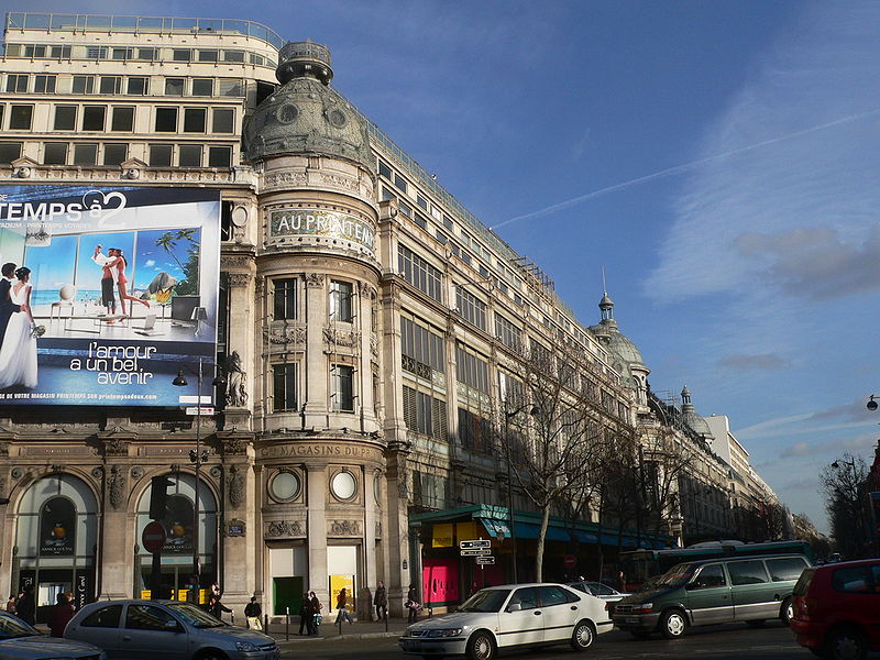
The Boulevards of Paris are boulevards which form an important part of the urban landscape of Paris. The boulevards were constructed in several phases by central government initiative as infrastructure improvements, but are very much associated with strolling and leisurely enjoyment in the minds of Parisians. ()
Address
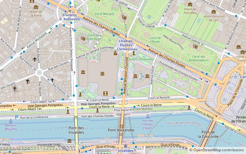
Élysée (Champs-Élysées)Paris
ContactAdd
Social media
Add
Day trips
Boulevards of Paris – popular in the area (distance from the attraction)
Nearby attractions include: Élysée Palace, Palais Bourbon, Grand Palais, Rue du Faubourg Saint-Honoré.
Frequently Asked Questions (FAQ)
Which popular attractions are close to Boulevards of Paris?
Nearby attractions include Petit Palais, Paris (1 min walk), Grand Palais, Paris (2 min walk), Cours-la-Reine, Paris (3 min walk), Galeries nationales du Grand Palais, Paris (3 min walk).
How to get to Boulevards of Paris by public transport?
The nearest stations to Boulevards of Paris:
Bus
Metro
Ferry
Train
Bus
- Grand Palais • Lines: 72, 93, rouge (2 min walk)
- Champs-Élysées - Clemenceau • Lines: 42, 73, 93, Bleue, N11, N24 (4 min walk)
Metro
- Champs-Élysées - Clemenceau • Lines: 1, 13 (3 min walk)
- Champs-Elysées - Clémenceau (4 min walk)
Ferry
- Port des Champs-Elysées • Lines: Batobus (4 min walk)
- Musée d'Orsay • Lines: Batobus (18 min walk)
Train
- Invalides (6 min walk)
- Musée d'Orsay (18 min walk)

 Metro
Metro


