Menhir de Chancerons, Solutré-Pouilly
Map

Map

Facts and practical information
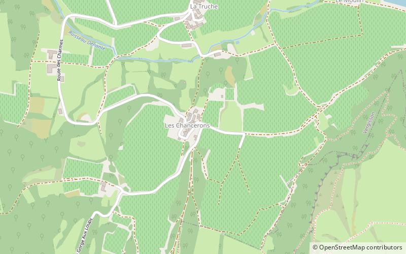
The menhir of Chancerons is located above the hamlet of Chancerons attached to the village of Vergisson in the French department of Saône-et-Loire.
Coordinates: 46°18'14"N, 4°42'53"E
Address
Solutré-Pouilly
ContactAdd
Social media
Add
Day trips
Menhir de Chancerons – popular in the area (distance from the attraction)
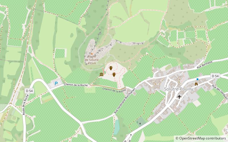
Nearby attractions include: Rock of Solutré, Rock of Vergisson, Vergisson, Parc archéologique et botanique de Solutré.
Frequently Asked Questions (FAQ)
Which popular attractions are close to Menhir de Chancerons?
Nearby attractions include Vergisson, Solutré-Pouilly (8 min walk), Rock of Solutré, Solutré-Pouilly (10 min walk), Parc archéologique et botanique de Solutré, Solutré-Pouilly (13 min walk).


