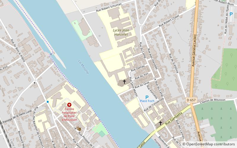
Lorraine Regional Natural Park, Pont-à-Mousson
Map

Map

Facts and practical information
Lorraine Regional Natural Park is a protected area of pastoral countryside in the Grand Est region of northeastern France, in the historic region of Lorraine. The park covers a total area of 205,000 hectares. The parkland is split in two non-contiguous parcels of land between the cities of Metz and Nancy, and spans the three departments of Meuse, Meurthe-et-Moselle, and Moselle. According to the World Database on Protected Areas, it is an IUCN category V area. ()
Local name: Parc naturel régional de Lorraine Elevation: 587 ft a.s.l.Coordinates: 48°54'28"N, 6°3'21"E
Address
Pont-à-Mousson
ContactAdd
Social media
Add
Day trips
Lorraine Regional Natural Park – popular in the area (distance from the attraction)
Nearby attractions include: Château de Mousson, St. Lawrence Church, St. Martin's Church, La Fontaine rouge.
Frequently Asked Questions (FAQ)
Which popular attractions are close to Lorraine Regional Natural Park?
Nearby attractions include St. Martin's Church, Pont-à-Mousson (6 min walk), St. Lawrence Church, Pont-à-Mousson (8 min walk), La Fontaine rouge, Pont-à-Mousson (16 min walk).


