Arènes Louis Thiers, Saint-Martin-de-Crau

Gallery (1)
Map
Map
Facts and practical information
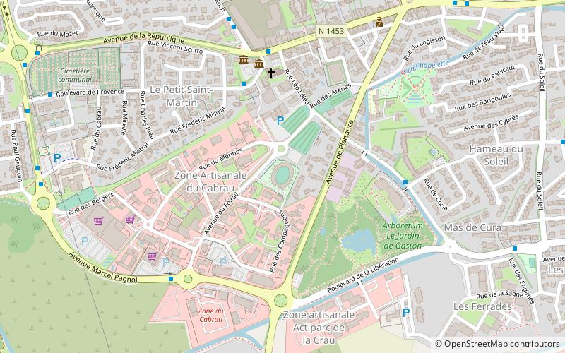
The Louis-Thiers bullring, inaugurated in 1960, then in 2009, is the municipal arena of the town of Saint-Martin-de-Crau located in the French department of Bouches-du-Rhône, in the Provence-Alpes-Côte d'Azur region. They could hold 1,800 people in 1960. In 2008, a new infrastructure was built on a different site. Its capacity was increased, they became second category with a capacity of 3,000 people.
Coordinates: 43°38'5"N, 4°48'25"E
Address
Place du Général de GaulleSaint-Martin-de-Crau
ContactAdd
Social media
Add
Day trips

