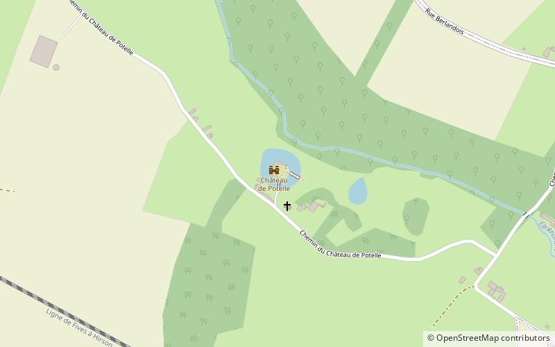
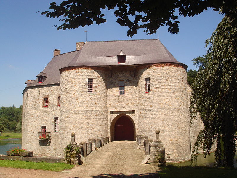
Château de Potelle, Carrière des Nerviens Regional Nature Reserve

Gallery (3)
Map
Map
Gallery
Facts and practical information
The castle of Potelle or Potelles castle is a feudal castle located in the town of Potelle in the Nord department.
The castle has been registered as a historical monument since January 19, 1944.
Coordinates: 50°14'49"N, 3°40'12"E
Getting there by public transportation
Public transportation stops near this location
- Bus
- Train
 Bus
Bus
- Calculate routeGare 28 min walk
- Calculate routeLycée Eugène Thomas 29 min walk
- Calculate routeLe Quesnoy 28 min walk
Day trips


Frequently Asked Questions (FAQ)
How to get to Château de Potelle by public transport?
The nearest stations to Château de Potelle:
Bus
Train
Bus
- Gare • Lines: 990 (28 min walk)
- Lycée Eugène Thomas • Lines: 990 (29 min walk)
Train
- Le Quesnoy (28 min walk)