Grand Bassin, Castelnaudary

Gallery (3)
Map

Map
Gallery
Facts and practical information
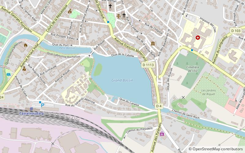
The Grand Bassin is the largest body of open water along the Canal du Midi. It is in Castelnaudary, France and covers some 7 hectares. Once a scene of intense economic activity, it is now a major pleasure port used by tourist craft. It holds the water reserve for the four locks of Saint-Roche. ()
Elevation: 591 ft a.s.l.Coordinates: 43°18'50"N, 1°57'24"E
Address
Castelnaudary
ContactAdd
Social media
Add
Day trips


Frequently Asked Questions (FAQ)
Which popular attractions are close to Grand Bassin?
Nearby attractions include Collégiale Saint-Michel, Castelnaudary (6 min walk), Moulin, Castelnaudary (15 min walk).