Château d'Autet, Luberon
Map
Facts and practical information
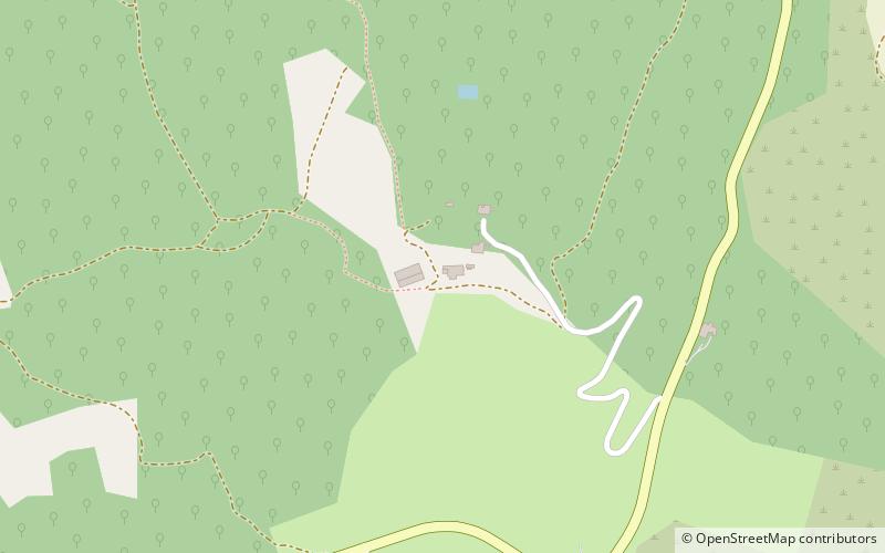
Château d'Autet is a château located in the Luberon hills of the commune of Viens in the Vaucluse department, Provence-Alpes-Côte d'Azur, France. The château lies approximately 3 kilometres to the northeast of the village of Gignac, and roughly 85 kilometres north of Marseille. Built in the 19th century as a hunting lodge, the dilapidated house and surrounding neglected estate was bought in 1998 by David Armstrong-Jones, 2nd Earl of Snowdon, who is reported to have paid £500,000. In addition to repairing the house, the Earl planted fields of lavender on the estate nearby. ()
Coordinates: 43°55'52"N, 5°33'2"E
Address
Luberon
ContactAdd
Social media
Add
Getting there by public transportation
Public transportation stops near this location
- Bus
 Bus
Bus
- Calculate routeGignac - Centre 36 min walk
Day trips


Frequently Asked Questions (FAQ)
How to get to Château d'Autet by public transport?
The nearest stations to Château d'Autet:
Bus
Bus
- Gignac - Centre • Lines: 109 (36 min walk)