Bregille, Besançon

Map
Facts and practical information
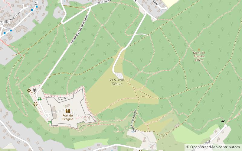
Bregille is a district of the French city of Besançon, located on the right bank of the Doubs, south-east of the historic center. It has developed on the eponymous hill Bregille which culminates at 458 meters, almost 200 meters above the river level. It has about 6 500 inhabitants in the early 2000s ()
Address
BregilleBesançon
ContactAdd
Social media
Add
Day trips
Bregille – popular in the area (distance from the attraction)
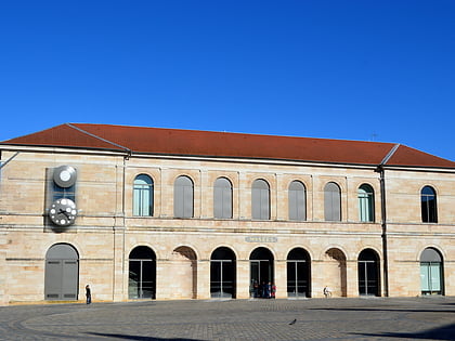
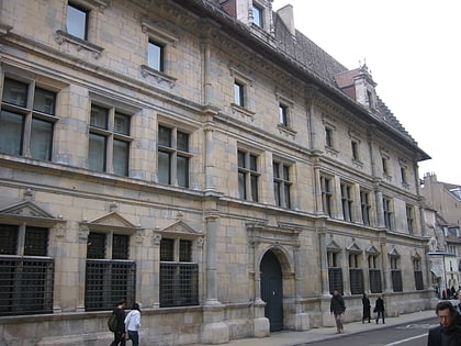
Nearby attractions include: Citadel of Besançon, Museum of Fine Arts and Archeology, Champs-Bruley cemetery, Besançon Cathedral.
Frequently Asked Questions (FAQ)
Which popular attractions are close to Bregille?
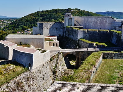
Nearby attractions include Sainte Jeanne d'Arc Church, Besançon (13 min walk), Fort of Bregille, Besançon (15 min walk), Fort of Beauregard, Besançon (16 min walk), Porte Rivotte, Besançon (18 min walk).
How to get to Bregille by public transport?
The nearest stations to Bregille:
Bus
Train
Tram
Bus
- Fort de Bregille • Lines: 10 (10 min walk)
- Fabre • Lines: 10 (11 min walk)
Train
- Besançon-Mouillère (18 min walk)
- Morre (31 min walk)
Tram
- Fontaine-Argent • Lines: T1 (24 min walk)
- Tristan Bernard • Lines: T1 (24 min walk)


