Tour de Cargèse, Cargèse
Map

Map

Facts and practical information
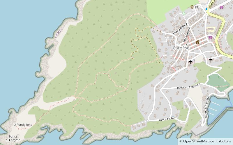
The Tour de Cargèse is a ruined Genoese tower located in the commune of Cargèse on the French island of Corsica. It sits on the highest point of the Puntiglione headland at an elevation of 157 metres above the sea. Only the base of the tower has survived. ()
Built: 1605 (421 years ago)Coordinates: 42°7'59"N, 8°35'22"E
Address
Cargèse
ContactAdd
Social media
Add
Day trips
Tour de Cargèse – popular in the area (distance from the attraction)
Nearby attractions include: Torra d'Omigna, Torra d'Orchinu, Torra di Sagone, Église Grecque.


