Vincennes, Paris
Map
Gallery
Facts and practical information
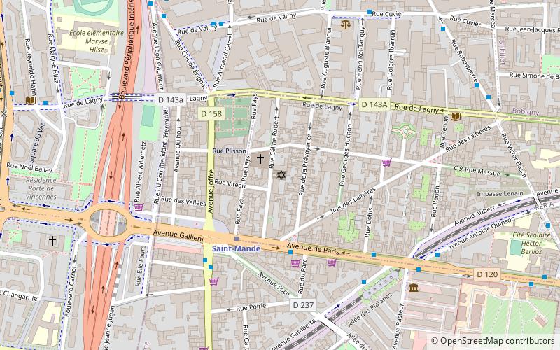
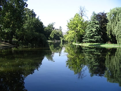
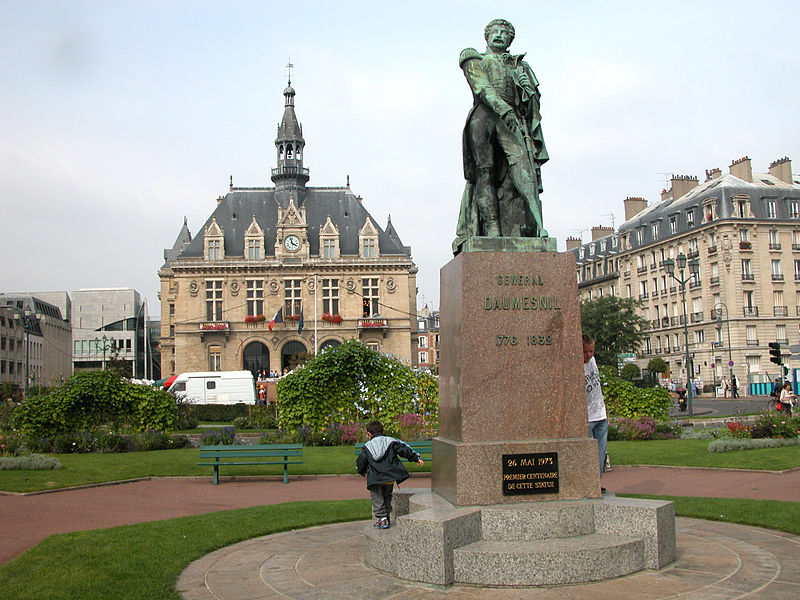
Vincennes is a commune in the Val-de-Marne department in the eastern suburbs of Paris, France. It is located 6.7 km from the centre of Paris. It is next to but does not include the Château de Vincennes and Bois de Vincennes, which are attached to the city of Paris. It is one of the most densely populated municipalities in Europe. ()
Address
Vincennes (Centre Ville Vincennes)Paris
ContactAdd
Social media
Add
Day trips
Vincennes – popular in the area (distance from the attraction)
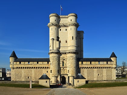
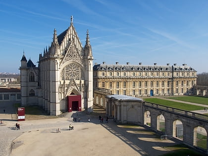
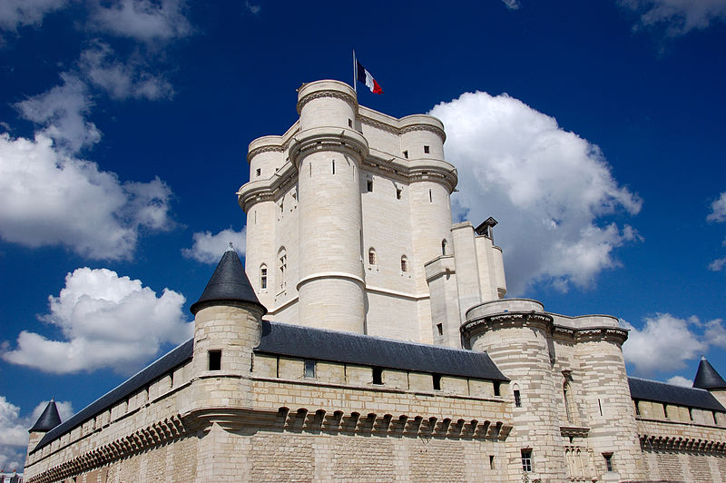
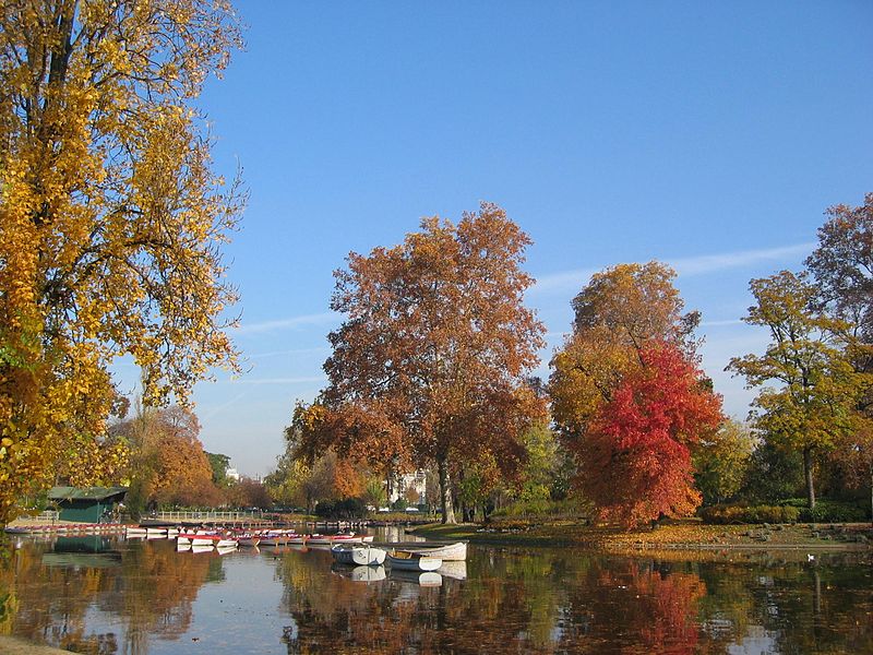
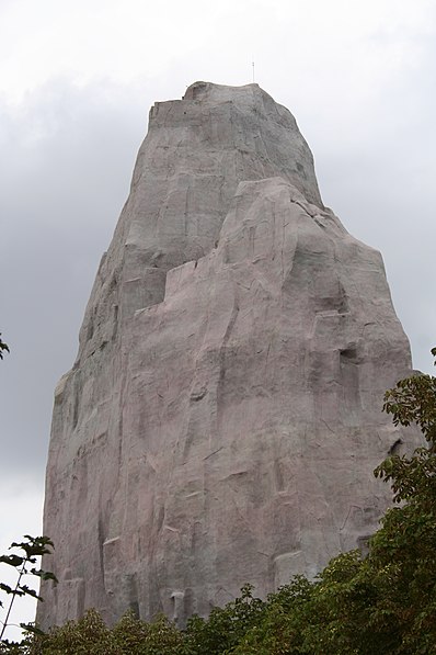
Nearby attractions include: Bois de Vincennes, Château de Vincennes, Sainte-Chapelle de Vincennes, Paris Zoological Park.
Frequently Asked Questions (FAQ)
Which popular attractions are close to Vincennes?
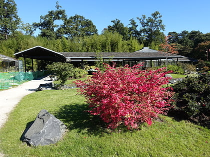
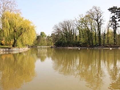
Nearby attractions include Château de Vincennes, Paris (7 min walk), Sainte-Chapelle de Vincennes, Paris (10 min walk), Parc Floral de Paris, Paris (19 min walk), Lac de Saint-Mandé, Paris (23 min walk).
How to get to Vincennes by public transport?
The nearest stations to Vincennes:
Bus
Metro
Train
Bus
- Mairie de Vincennes • Lines: 118, 124, Navette Autonome (1 min walk)
- Vincennes RER • Lines: 115, 118, 124 (3 min walk)
Metro
- Château de Vincennes • Lines: 1 (6 min walk)
- Bérault • Lines: 1 (13 min walk)
Train
- Vincennes (7 min walk)
- Fontenay-sous-Bois (30 min walk)



 Metro
Metro
