Viroflay, Paris

Gallery (2)
Map
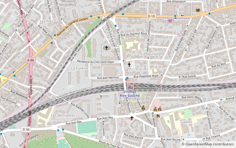

Map
Gallery
Facts and practical information
Viroflay is a commune in the Yvelines department in the Île-de-France in north-central France. It is located in the south-western suburbs of Paris 14.1 km from the center and 3 km from the Palace of Versailles. ()
Address
Paris
ContactAdd
Social media
Add
Getting there by public transportation
Public transportation stops near this location
- Bus
- Tram
- Train
 Bus
Bus
- Calculate routeViroflay Gare Rive Gauche 1 min walk
- Calculate routeRobert Wagner 31 min walk
- Calculate routeViroflay Gare Rive Gauche 2 min walk
- Calculate routeLes Arcades 6 min walk
- Calculate routeGabriel Péri 6 min walk
- Calculate routeViroflay Rive Gauche 2 min walk
- Calculate routeViroflay Rive Droite 8 min walk
- Calculate routeChaville - Vélizy 16 min walk
- Calculate routeChaville-Rive-Gauche 22 min walk
Maps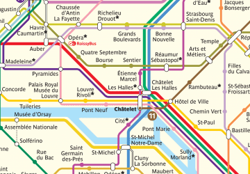 Metro
Metro
MetroDay trips


Frequently Asked Questions (FAQ)
How to get to Viroflay by public transport?
The nearest stations to Viroflay:
Tram
Bus
Train
Tram
- Viroflay Gare Rive Gauche • Lines: T6 (1 min walk)
- Robert Wagner • Lines: T6 (31 min walk)
Bus
- Viroflay Gare Rive Gauche • Lines: 6, 7 (2 min walk)
- Les Arcades • Lines: 6, 7 (6 min walk)
Train
- Viroflay Rive Gauche (2 min walk)
- Viroflay Rive Droite (8 min walk)