Saint-Sauveur Church, La Rochelle

Facts and practical information
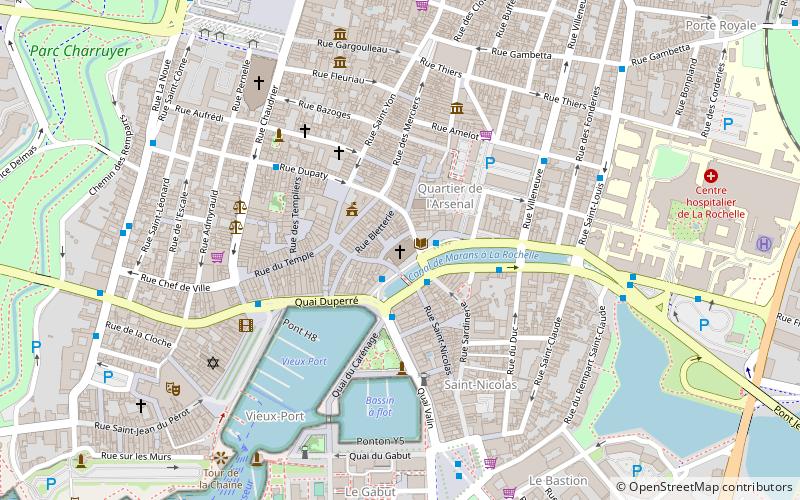
Saint-Sauveur Church (address: Rue St Sauveur) is a place located in La Rochelle (New Aquitaine region) and belongs to the category of church.
It is situated at an altitude of 30 feet, and its geographical coordinates are 46°9'32"N latitude and 1°9'1"W longitude.
Planning a visit to this place, one can easily and conveniently get there by public transportation. Saint-Sauveur Church is a short distance from the following public transport stations: Dames Blanches (bus, 2 min walk), La Rochelle-Ville (train, 13 min walk).
Among other places and attractions worth visiting in the area are: Chapelle Notre-Dame de l'Espérance (church, 5 min walk), La Rochelle Cathedral (sacred and religious sites, 6 min walk), Fontaine du Pilori (fountain, 7 min walk).
Rue St SauveurCentre (Centre Mairie)La Rochelle 17000
Saint-Sauveur Church – popular in the area (distance from the attraction)
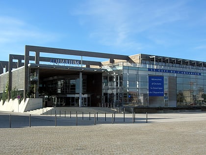
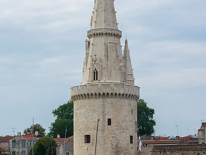
Nearby attractions include: Aquarium de La Rochelle, Muséum d'Histoire naturelle de La Rochelle, Plage des Minimes, Lantern Tower.
Frequently Asked Questions (FAQ)
When is Saint-Sauveur Church open?
- Monday closed
- Tuesday 10 am - 12:30 pm & 2:30 pm - 6 pm
- Wednesday 10 am - 12:30 pm & 2:30 pm - 6 pm
- Thursday 10 am - 12:30 pm & 2:30 pm - 6 pm
- Friday 10 am - 12:30 pm & 2:30 pm - 6 pm
- Saturday 10 am - 12:30 pm & 2:30 pm - 6 pm
- Sunday 4 pm - 6 pm
Which popular attractions are close to Saint-Sauveur Church?
How to get to Saint-Sauveur Church by public transport?
Bus
- Dames Blanches • Lines: Illico 1b, Illico 4, Illico 4 - Minimes vers Beaulieu (2 min walk)
- Grosse Horloge • Lines: Illico 1b (4 min walk)
Train
- La Rochelle-Ville (13 min walk)
- La Rochelle - Porte Dauphine (16 min walk)

