Tour Bretagne, Nantes
Map
Gallery
Facts and practical information
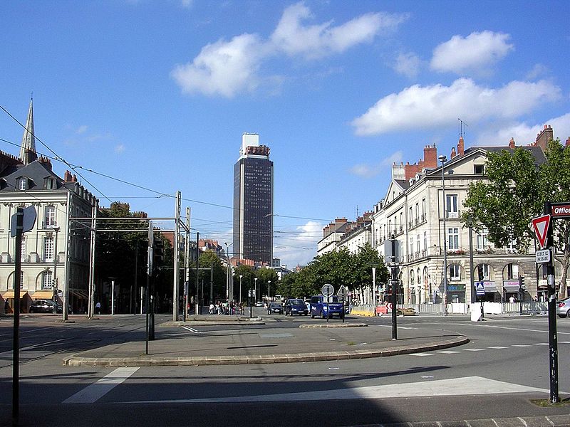
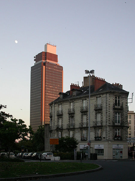
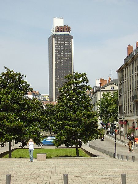
Tour Bretagne opened on November 18, 1976 at 17:00, is a 37-story skyscraper situated in downtown Nantes between a main thoroughfare, Cours des 50 Otages, and Place Bretagne. ()
Address
Place de BretagneCentre Ville Nantes (Bretagne)Nantes 44000
Contact
+33 2 40 35 36 49
Social media
Add
Day trips
Tour Bretagne – popular in the area (distance from the attraction)
Nearby attractions include: Passage Pommeraye, Nantes Cathedral, Château des ducs de Bretagne, Tomb of Francis II.
Frequently Asked Questions (FAQ)
Which popular attractions are close to Tour Bretagne?
Nearby attractions include Basilique Saint-Nicolas, Nantes (3 min walk), Place Royale, Nantes (5 min walk), Église Saint-Similien, Nantes (6 min walk), Hôtel Saint-Aignan, Nantes (6 min walk).
How to get to Tour Bretagne by public transport?
The nearest stations to Tour Bretagne:
Tram
Bus
Train
Ferry
Tram
- Bretagne • Lines: 3 (2 min walk)
- Place du Cirque • Lines: 2 (3 min walk)
Bus
- Saint-Nicolas • Lines: 23, 26, 54, Aleop 350, C1, C3, C6 (3 min walk)
- Place du Cirque • Lines: 11, 23, Aléop 348, Aléop 360, C1, C2, C6, Lila 10, Lila 11, Lila 1er, Lila 20, Lila 22, Lila 30, Lila 42E, Lila 46, Lila 60, Lila 71, Lu (3 min walk)
Train
- Nantes (22 min walk)
Ferry
- Gare Maritime • Lines: N1 (26 min walk)


