Place des Célestins, Lyon
Map
Gallery
Facts and practical information
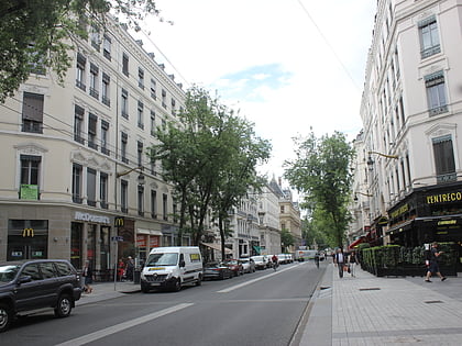
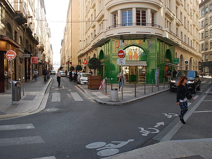
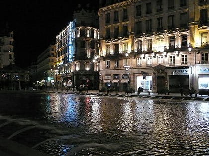
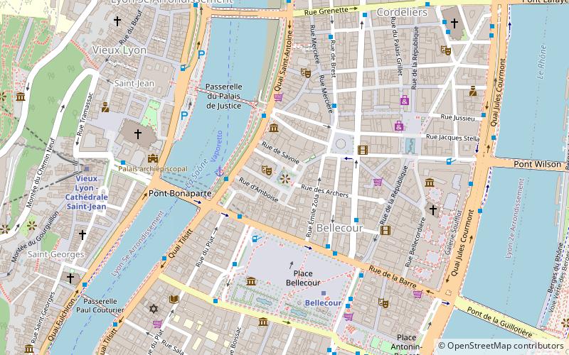
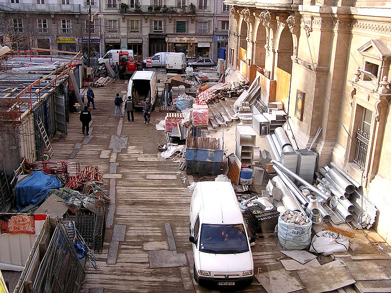
The Place des Célestins is a square located in the Célestins quarter, in the 2nd arrondissement of Lyon. The square was named after the religious of the Order of the Celestines which were installed from 1407 to 1778. Redevelopment in 1995 added an underground car park. This zone is served by the metro station Bellecour. It belongs to the zone classified as World Heritage Site by UNESCO. ()
Address
Arrondissement 2E (Bellecour - A Gourjus)Lyon
ContactAdd
Social media
Add
Day trips
Place des Célestins – popular in the area (distance from the attraction)
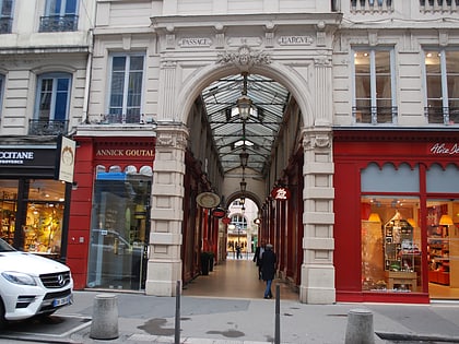
Nearby attractions include: Rue de la République, Rue Mercière, Passage de l'Argue, St Jean Cathedral.
Frequently Asked Questions (FAQ)
Which popular attractions are close to Place des Célestins?
Nearby attractions include Célestins, Lyon (1 min walk), Rue Émile-Zola, Lyon (2 min walk), Place Bellecour, Lyon (2 min walk), Rue des Archers, Lyon (2 min walk).
How to get to Place des Célestins by public transport?
The nearest stations to Place des Célestins:
Bus
Ferry
Metro
Trolleybus
Train
Tram
Bus
- Pont Bonaparte • Lines: 31, 40 (3 min walk)
- Bellecour - Chambonnet • Lines: 27, 40, C20, C20E (3 min walk)
Ferry
- Bellecour • Lines: Vaporetto (3 min walk)
- Saint-Paul - Hôtel de Ville • Lines: Vaporetto (13 min walk)
Metro
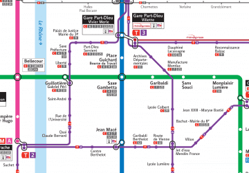
- Bellecour • Lines: A, D (5 min walk)
- Vieux Lyon - Cathédrale Saint-Jean • Lines: D (8 min walk)
Trolleybus
- Cordeliers • Lines: C13, C14, C3 (9 min walk)
- Gare Saint-Paul • Lines: C3 (13 min walk)
Train
- Lyon-Saint-Paul (13 min walk)
- Minimes - Théâtres romains (14 min walk)
Tram
- Liberté • Lines: T1 (14 min walk)
- Guillotière • Lines: T1 (16 min walk)

 Metro
Metro