Pont Neuf, Paris
Map
Gallery
Facts and practical information
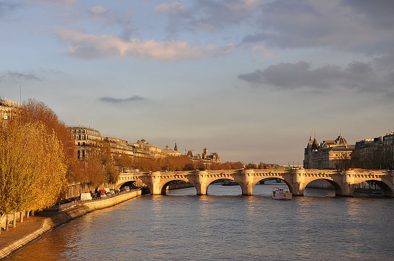
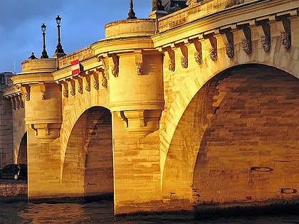
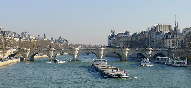
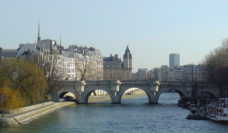
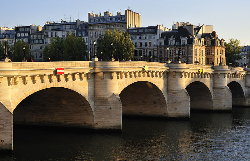
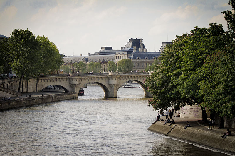
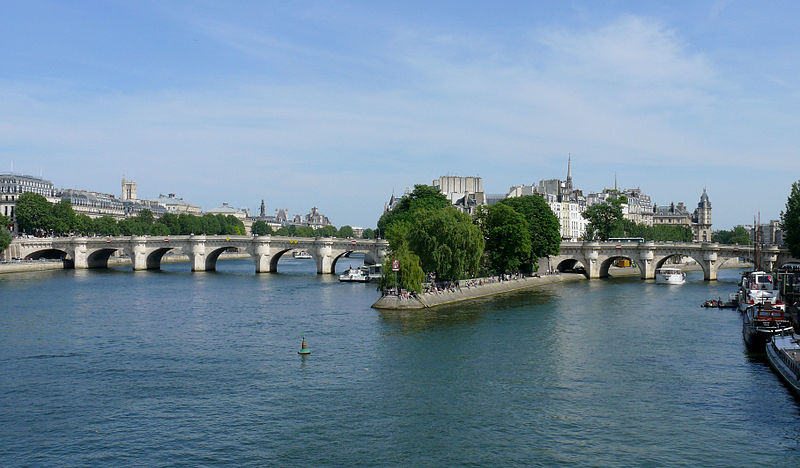
The Pont Neuf is the oldest standing bridge across the river Seine in Paris, France. It stands by the western point of the Île de la Cité, the island in the middle of the river that was, between 250 and 225 BC, the birthplace of Paris, then known as Lutetia and, during the medieval period, the heart of the city. ()
Alternative names: Completed: 1607 (419 years ago)Unesco: from 1991Length: 761 ftWidth: 72 ftCoordinates: 48°51'34"N, 2°20'40"E
Address
Square du Vert-GalantLouvre (Saint-Germain-l'Auxerrois)Paris
ContactAdd
Social media
Add
Day trips
Pont Neuf – popular in the area (distance from the attraction)
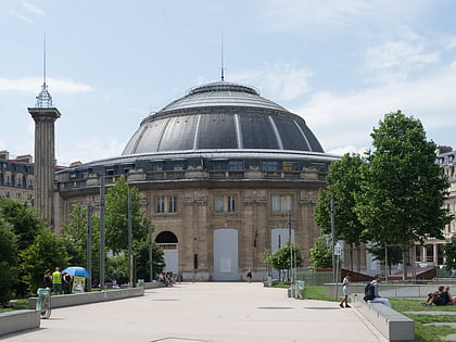
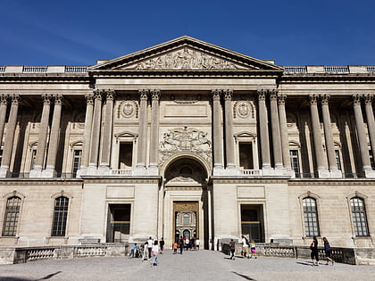
Nearby attractions include: Le Baiser Salé, Sunset Sunside, Bourse de commerce, Louvre Colonnade.
Frequently Asked Questions (FAQ)
Which popular attractions are close to Pont Neuf?
Nearby attractions include 1st arrondissement of Paris, Paris (3 min walk), Saint-Germain l'Auxerrois, Paris (4 min walk), Théâtre du Châtelet, Paris (4 min walk), Rue de la Ferronnerie, Paris (4 min walk).
How to get to Pont Neuf by public transport?
The nearest stations to Pont Neuf:
Bus
Metro
Train
Ferry
Bus
- Rivoli - Pont Neuf • Lines: 21, 67, 69, 72, 74, 85, N11, N15, N16, N24 (1 min walk)
- Pont Neuf - Quai du Louvre • Lines: 21, 27, 67, 69, 70, 72, 74, 85, N11, N15, N16, N24 (4 min walk)
Metro
- Pont Neuf • Lines: 7 (4 min walk)
- Châtelet • Lines: 1, 11, 14, 4, 7 (4 min walk)
Train
- Châtelet - Les Halles (5 min walk)
- Saint-Michel Notre-Dame (11 min walk)
Ferry
- Hôtel-de-Ville • Lines: Batobus (14 min walk)
- Louvre • Lines: Batobus (15 min walk)


 Metro
Metro