Place de la Nation, Paris
Map
Gallery

Facts and practical information
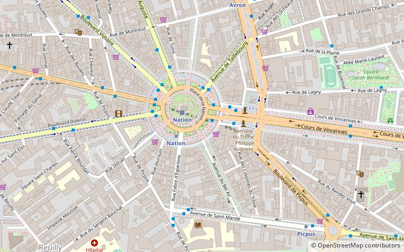
The Place de la Nation is a circle on the eastern side of Paris, between Place de la Bastille and the Bois de Vincennes, on the border of the 11th and 12th arrondissements. ()
Address
Place de la NationReuilly (Picpus)Paris
ContactAdd
Social media
Add
Day trips
Place de la Nation – popular in the area (distance from the attraction)
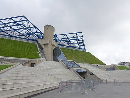
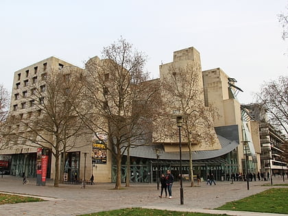
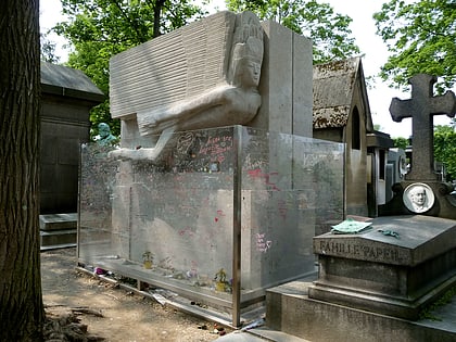
Nearby attractions include: Cimetière du Père-Lachaise, Accor Arena, Saint-Antoine-des-Quinze-Vingts, Cinémathèque Française.
Frequently Asked Questions (FAQ)
Which popular attractions are close to Place de la Nation?
Nearby attractions include Picpus Cemetery, Paris (9 min walk), Cours de Vincennes, Paris (10 min walk), 12th arrondissement of Paris, Paris (16 min walk), Hôpital Saint-Antoine, Paris (17 min walk).
How to get to Place de la Nation by public transport?
The nearest stations to Place de la Nation:
Metro
Bus
Train
Tram
Metro
- Nation • Lines: 1, 2, 6, 9 (2 min walk)
- Avron • Lines: 2 (7 min walk)
Bus
- Nation - Trone • Lines: N11 (2 min walk)
- Nation - Trône • Lines: 215, 26, 351, 56, 86, N11 (2 min walk)
Train
- Nation (2 min walk)
- Paris-Bercy - Bourgogne-Pays d'Auvergne (23 min walk)
Tram
- Porte de Vincennes • Lines: T3a, T3b (16 min walk)
- Alexandra David-Néel • Lines: T3a (18 min walk)
 Metro
Metro
